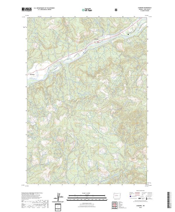
2023 Map of Leaburg
USGS Topo · Published 2023About this map
The McKenzie River corridor defines the geography of this quadrangle, where the river valley supports the primary settlements of Leaburg and Deerhorn. A significant engineering feature is the Eugene Water and Electric Board Canal, which parallels the river north of Leaburg Dr, signaling the region's historical and ongoing reliance on hydroelectric and water management infrastructure. The landscape shifts quickly from the populated riverbank to the steep rising terrain of the Cascades foothills, marked by summits like Miles Peak and an intricate network of drainage systems including Sturdy Creek and Norton Creek. Genealogists and local historians can locate Greenwood Cem near the junction of Greenwood Dr and Fish Hatchery Rd. This modern survey documents the persistent rural character of Lane County, where forest roads like Hills Creek Rd wind through township boundaries such as t18s r1w and t18s r1e.
Find a feature on this map
37 named features on this map. Tap any name to fly to it.
Don’t see what you’re looking for? This feature index may not catch every label — zoom into the map to look around manually.
Map Details
Editions of this 2023 Leaburg Map
This is the sole edition of this map. No revisions or reprints were ever made.
Other maps of this area

1935 · Lowell
USGS Topo · 1:96,000

1942 · Lowell
USGS Topo · 1:125,000

1950 · Marcola
USGS Topo · 1:62,500

1951 · Leaburg
USGS Topo · 1:62,500

1952 · Marcola
USGS Topo · 1:62,500

1953 · Salem
USGS Topo · 1:250,000

1954 · Salem
USGS Topo · 1:250,000

1955 · Hardesty Mtn
USGS Topo · 1:62,500

1955 · Lowell
USGS Topo · 1:62,500

1958 · Roseburg
USGS Topo · 1:250,000