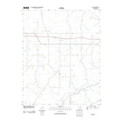
2010 Map of Leach
USGS Topo · Published 2010About this map
Saline Creek and its southern counterpart Spring Creek define the drainage patterns across this section of Delaware County. The landscape is marked by a transition from the winding course of Little Saline Creek in the north to the network of smaller tributaries like Snake Creek and Double Spring Creek further south. This 2010 survey illustrates a primarily rural layout, where the rectilinear grid of local county roads is interrupted only by the natural contours of these waterways. Notably, the path of N Old Toll Gate Rd in the southeast corner provides a clear link to the area's historical transportation corridors, following the natural curves of the terrain near the lower reaches of Spring Creek. The map reflects a quiet, dispersed settlement pattern typical of the Oklahoma Ozarks foothills, where modern rural development aligns with ancestral water sources.
Find a feature on this map
37 named features on this map. Tap any name to fly to it.
Don’t see what you’re looking for? This feature index may not catch every label — zoom into the map to look around manually.
Map Details
Editions of this 2010 Leach Map
This is the sole edition of this map. No revisions or reprints were ever made.
Other maps of this area

1896 · Pryor
USGS Topo · 1:125,000

1899 · Siloam Springs
USGS Topo · 1:125,000

1901 · Pryor
USGS Topo · 1:125,000

1903 · Siloam Springs
USGS Topo · 1:125,000

1904 · Siloam Springs
USGS Topo · 1:125,000

1954 · Tulsa
USGS Topo · 1:250,000

1958 · Tulsa
USGS Topo · 1:250,000

1963 · Tulsa
USGS Topo · 1:250,000

1971 · Kenwood
USGS Topo · 1:24,000

1971 · Jay SE
USGS Topo · 1:24,000