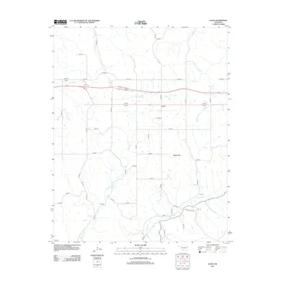
2012 Map of Leach
USGS Topo · Published 2012About this map
Leach serves as a central hub in this section of Delaware County, where several significant waterways converge across the landscape. The drainage patterns of Saline Cr and its tributary, Little Saline Cr, define the northern reaches of this area, while the southern portion is marked by the winding paths of Double Spring Cr and Spring Cr. Evidence of early transit and local history remains visible through the alignment of N Old Toll Gate Rd, a name that points to the region's historic transportation corridors. Small settlements like Rocky Ford and the presence of Batt Cem offer specific touchpoints for genealogical research and local history. The road network, including numerous numbered routes such as E0550 Rd and N4540 Rd, illustrates the grid-based development that supports the rural agricultural and residential character of this Oklahoma territory.
Find a feature on this map
43 named features on this map. Tap any name to fly to it.
Don’t see what you’re looking for? This feature index may not catch every label — zoom into the map to look around manually.
Map Details
Editions of this 2012 Leach Map
This is the sole edition of this map. No revisions or reprints were ever made.
Other maps of this area

1896 · Pryor
USGS Topo · 1:125,000

1899 · Siloam Springs
USGS Topo · 1:125,000

1901 · Pryor
USGS Topo · 1:125,000

1903 · Siloam Springs
USGS Topo · 1:125,000

1904 · Siloam Springs
USGS Topo · 1:125,000

1954 · Tulsa
USGS Topo · 1:250,000

1958 · Tulsa
USGS Topo · 1:250,000

1963 · Tulsa
USGS Topo · 1:250,000

1971 · Kenwood
USGS Topo · 1:24,000

1971 · Jay SE
USGS Topo · 1:24,000