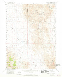
1961 Map of Leach Hot Springs
USGS Topo · Published 1970About this map
Leach Hot Springs serves as a geothermal anchor in this high desert landscape, where the Sonoma Range and Tobin Range meet the arid basins of Pumpernickel Valley. During this early 1960s survey, the area was defined by a sparse network of isolated ranching outposts such as Clear Creek Ranch and Sheep Ranch, connected primarily by primitive roads and jeep trails.
Find a feature on this map
73 named features on this map. Tap any name to fly to it.
Don’t see what you’re looking for? This feature index may not catch every label — zoom into the map to look around manually.
Map Details
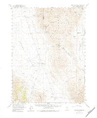
Editions of this 1961 Leach Hot Springs Map
3 editions found
Other maps of this area

1932 · Sonoma Range
USGS Topo · 1:250,000

1939 · Sonoma Range
USGS Topo · 1:250,000

1955 · Winnemucca
USGS Topo · 1:250,000

1958 · Winnemucca
USGS Topo · 1:250,000

1958 · Winnemucca
USGS Topo · 1:62,500

1958 · Rose Creek
USGS Topo · 1:62,500
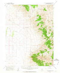
1961 · Kyle Hot Springs
USGS Topo · 1:62,500

1961 · Mt. Tobin
USGS Topo · 1:62,500

1961 · Leach Hot Springs
USGS Topo · 1:62,500

1961 · Dun Glen
USGS Topo · 1:62,500