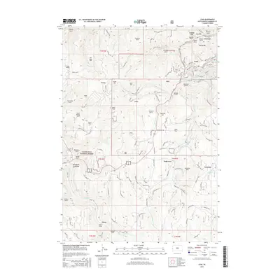
2015 Map of Lead
USGS Topo · Published 2015About this map
Terry Peak and Deer Mountain anchor this landscape in the northern Black Hills, a region deeply marked by its mining heritage and rugged terrain. The gold-mining legacy of the area is evident in the cluster of historical settlements including Terraville, Central City, Gayville, and Blacktail, which follow the narrow drainages of Deadwood Creek and Bobtail Gulch. This map provides a look at the transition from industrial mining centers to the expansive Black Hills National Forest, where old transportation routes like the Railroad Grade Rd and Old Rail Rd cross former timber and mineral lands.
Find a feature on this map
130 named features on this map. Tap any name to fly to it.
Don’t see what you’re looking for? This feature index may not catch every label — zoom into the map to look around manually.
Map Details
Editions of this 2015 Lead Map
This is the sole edition of this map. No revisions or reprints were ever made.
Other maps of this area

1894 · Deadwood
USGS Topo · 1:125,000

1899 · Sturgis
USGS Topo · 1:62,500

1900 · Spearfish
USGS Topo · 1:62,500

1901 · Deadwood
USGS Topo · 1:125,000

1915 · Spearfish
USGS Topo · 1:62,500

1915 · Sturgis
USGS Topo · 1:62,500

1916 · Deadwood
USGS Topo · 1:125,000

1953 · Rapid City
USGS Topo · 1:250,000
1956 · Crooks Tower
USGS Topo · 1:24,000
1956 · Nahant
USGS Topo · 1:24,000