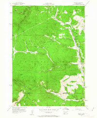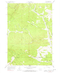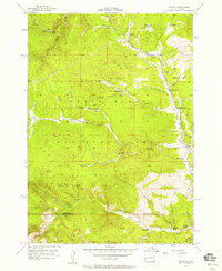
1956 Map of Nahant
USGS Topo · Published 1958This historical map portrays the area of Nahant in 1956, primarily covering Lawrence County as well as portions of Pennington County. Featuring a scale of 1:24000, this map provides a highly detailed snapshot of the terrain, roads, buildings, counties, and historical landmarks in the Nahant region at the time. Published in 1958, it is one of 4 known editions of this map due to revisions or reprints.
Map Details
Editions of this 1956 Nahant Map
4 editions found
Historical Maps of Lawrence County Through Time
13 maps found
1953 Nemo
Lawrence County, SD
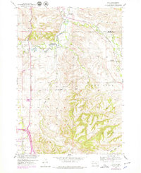
1954 Jolly
Lawrence County, SD
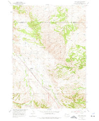
1954 Saint Onge
Lawrence County, SD
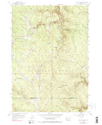
1956 Crooks Tower
Lawrence County, SD
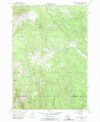
1956 Minnesota Ridge
Lawrence County, SD
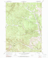
1956 Nahant
Lawrence County, SD
1961 Deadwood North
Lawrence County, SD
1961 Deadwood South
Lawrence County, SD
1961 Maurice
Lawrence County, SD
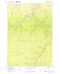
1961 Savoy
Lawrence County, SD
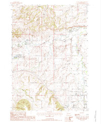
1984 Chicken Creek
Lawrence County, SD
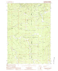
1984 Old Baldy Mtn
Lawrence County, SD
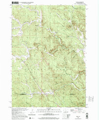
1998 Nemo
Lawrence County, SD
