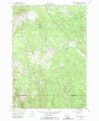
1956 Map of Minnesota Ridge
USGS Topo · Published 1989About this map
Minnesota Ridge and the surrounding drainages of the Black Hills National Forest define this 1950s landscape during a period of transition for local industry and infrastructure. The small settlement of Rochford sits at the confluence of several gulches, serving as a focal point near the Lawrence and Pennington county line. The map captures evidence of the region’s extractive history, from the Montana Mine (Inactive) to the rail lines of the Chicago and North Western and the Burlington and Quincy railroads that once navigated these complex mountain contours.
Find a feature on this map
26 named features on this map. Tap any name to fly to it.
Don’t see what you’re looking for? This feature index may not catch every label — zoom into the map to look around manually.
Map Details
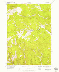
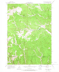
Editions of this 1956 Minnesota Ridge Map
Other maps of this area

1894 · Deadwood
USGS Topo · 1:125,000

1899 · Sturgis
USGS Topo · 1:62,500

1900 · Spearfish
USGS Topo · 1:62,500

1901 · Deadwood
USGS Topo · 1:125,000

1915 · Spearfish
USGS Topo · 1:62,500

1915 · Sturgis
USGS Topo · 1:62,500

1916 · Deadwood
USGS Topo · 1:125,000

1953 · Nemo
USGS Topo · 1:24,000

1953 · Rapid City
USGS Topo · 1:250,000

1954 · Silver City
USGS Topo · 1:24,000