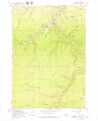
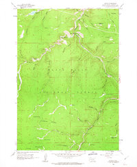
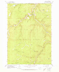
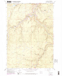
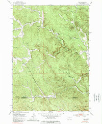
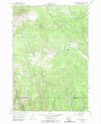
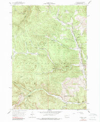
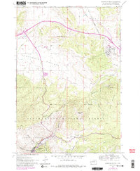
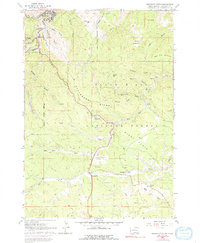
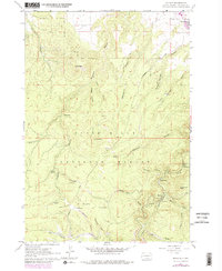
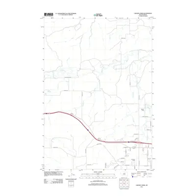
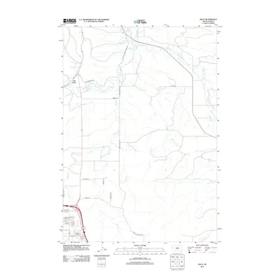
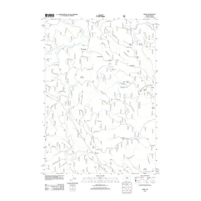
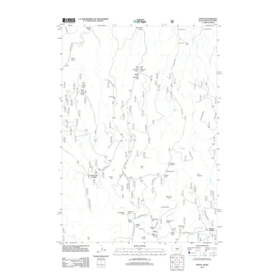
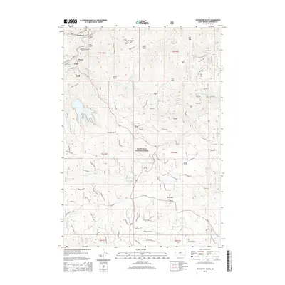
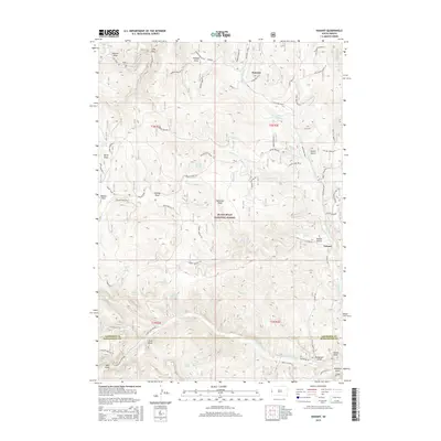
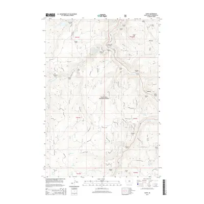
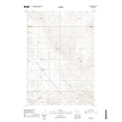
1961 Map of Savoy
USGS Topo · Published 1979About this map
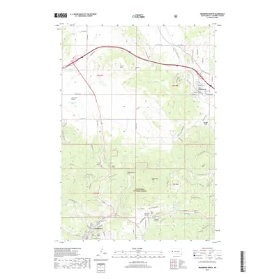
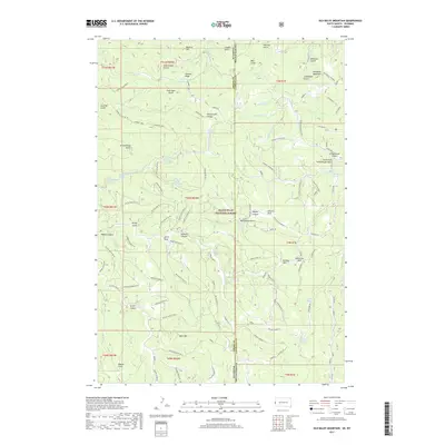
Black Hills National Forest surrounds the deep canyons of this 1961 survey, where the convergence of water and terrain defined local life. The small settlement of Savoy sits at the junction of Spearfish Creek and Little Spearfish Creek, famously home to Spearfish Falls and Roughlock Falls. These landmarks, along with Iron Creek Lake, highlight a landscape transitioning from resource extraction to recreation, evidenced by the numerous picnic areas and the Little Spearfish Guard Station.
Find a feature on this map
48 named features on this map. Tap any name to fly to it.
Don’t see what you’re looking for? This feature index may not catch every label — zoom into the map to look around manually.
Map Details
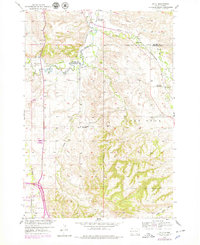
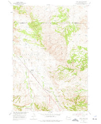
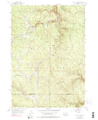
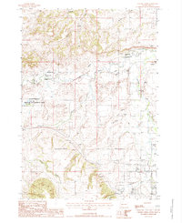
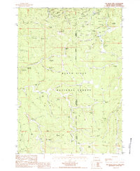
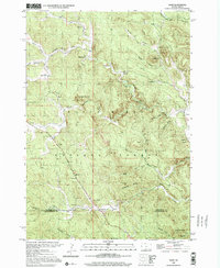
Editions of this 1961 Savoy Map
4 editions found
Historical Maps of Elmore Through Time
65 maps found
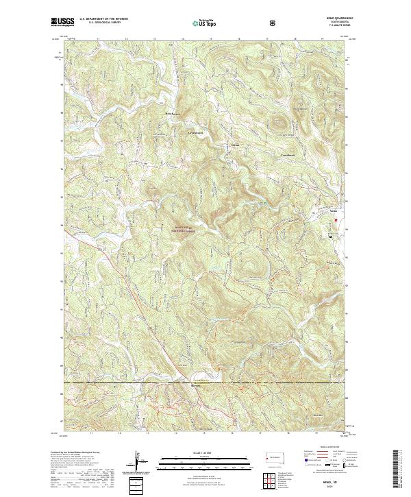
1953 Nemo
Lawrence County, SD
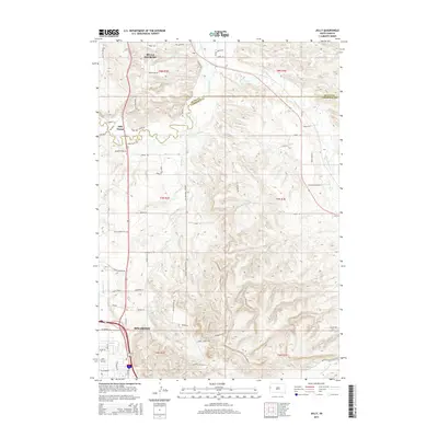
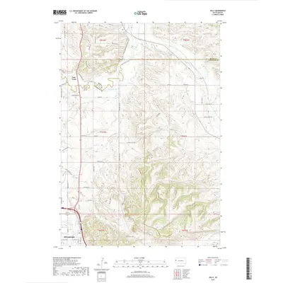
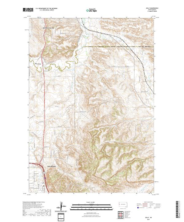
1954 Jolly
Lawrence County, SD
1954 Saint Onge
Lawrence County, SD
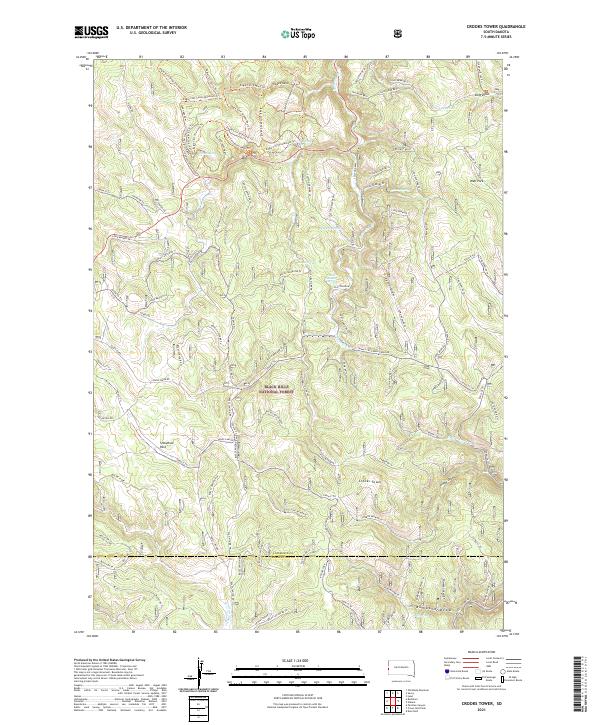
1956 Crooks Tower
Lawrence County, SD
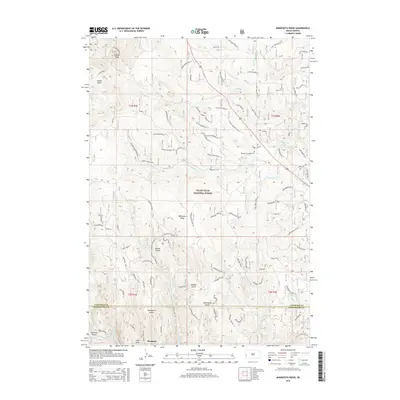
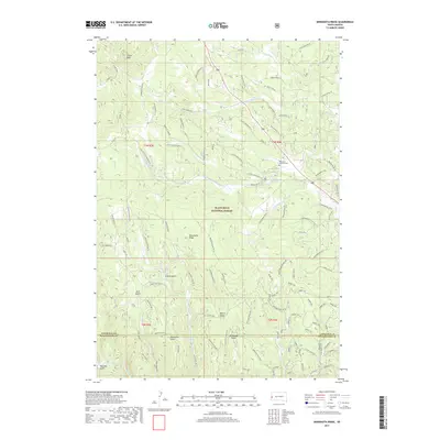
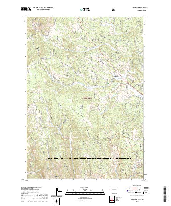
1956 Minnesota Ridge
Lawrence County, SD
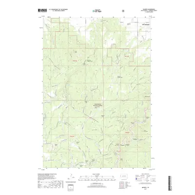
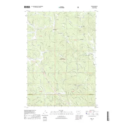
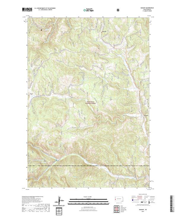
1956 Nahant
Lawrence County, SD
1961 Deadwood North
Lawrence County, SD
1961 Deadwood South
Lawrence County, SD
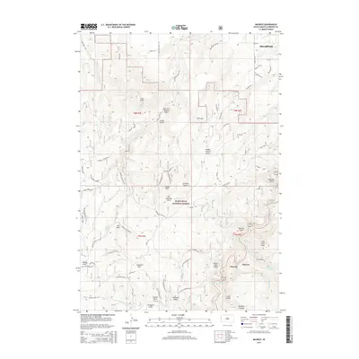
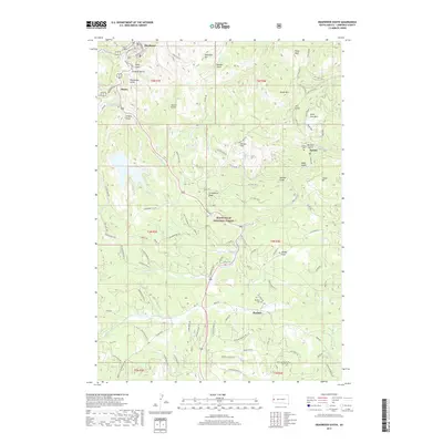
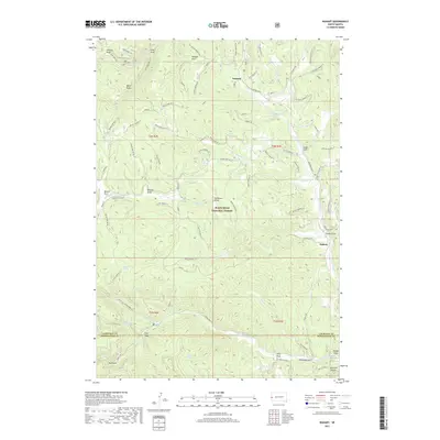
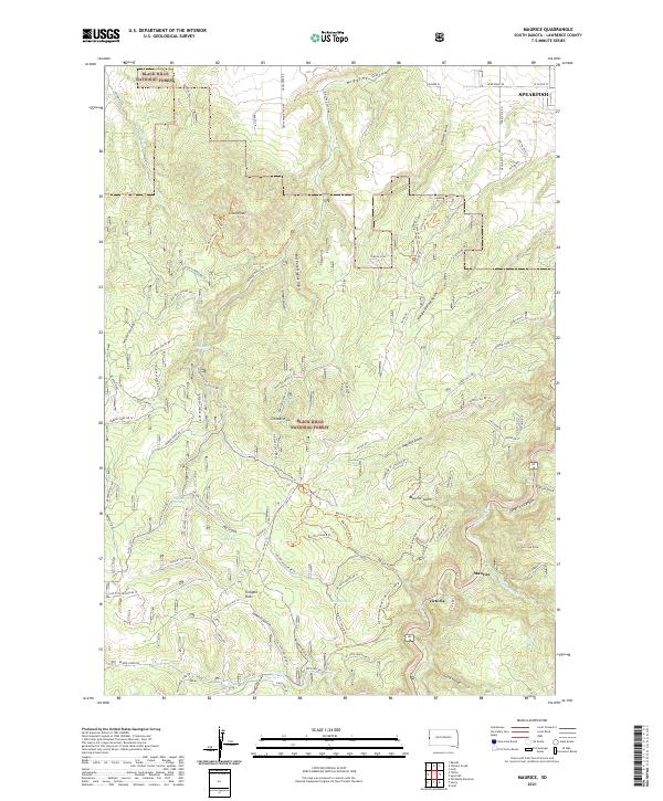
1961 Maurice
Lawrence County, SD
1961 Savoy
Lawrence County, SD
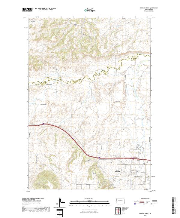
1984 Chicken Creek
Lawrence County, SD
1984 Old Baldy Mtn
Lawrence County, SD
1998 Nemo
Lawrence County, SD
2012 Chicken Creek
Lawrence County, SD
2012 Crooks Tower
Lawrence County, SD
2012 Deadwood North
Lawrence County, SD
2012 Deadwood South
Lawrence County, SD
2012 Jolly
Lawrence County, SD
2012 Maurice
Lawrence County, SD
2012 Minnesota Ridge
Lawrence County, SD
2012 Nahant
Lawrence County, SD
2012 Nemo
Lawrence County, SD
2012 Old Baldy Mountain
Lawrence County, SD
2012 Saint Onge
Lawrence County, SD
2012 Savoy
Lawrence County, SD
2012 Tinton
Lawrence County, SD
2015 Chicken Creek
Lawrence County, SD
2015 Crooks Tower
Lawrence County, SD
2015 Deadwood North
Lawrence County, SD
2015 Deadwood South
Lawrence County, SD
2015 Jolly
Lawrence County, SD
2015 Maurice
Lawrence County, SD
2015 Minnesota Ridge
Lawrence County, SD
2015 Nahant
Lawrence County, SD
2015 Nemo
Lawrence County, SD
2015 Old Baldy Mountain
Lawrence County, SD
2015 Saint Onge
Lawrence County, SD
2015 Savoy
Lawrence County, SD
2015 Tinton
Lawrence County, SD
2017 Chicken Creek
Lawrence County, SD
2017 Crooks Tower
Lawrence County, SD
2017 Deadwood North
Lawrence County, SD
2017 Deadwood South
Lawrence County, SD
2017 Jolly
Lawrence County, SD
2017 Maurice
Lawrence County, SD
2017 Minnesota Ridge
Lawrence County, SD
2017 Nahant
Lawrence County, SD
2017 Nemo
Lawrence County, SD
2017 Old Baldy Mountain
Lawrence County, SD
2017 Saint Onge
Lawrence County, SD
2017 Savoy
Lawrence County, SD
2017 Tinton
Lawrence County, SD
2021 Chicken Creek
Lawrence County, SD
2021 Crooks Tower
Lawrence County, SD
2021 Deadwood North
Lawrence County, SD
2021 Deadwood South
Lawrence County, SD
2021 Jolly
Lawrence County, SD
2021 Maurice
Lawrence County, SD
2021 Minnesota Ridge
Lawrence County, SD
2021 Nahant
Lawrence County, SD
2021 Nemo
Lawrence County, SD
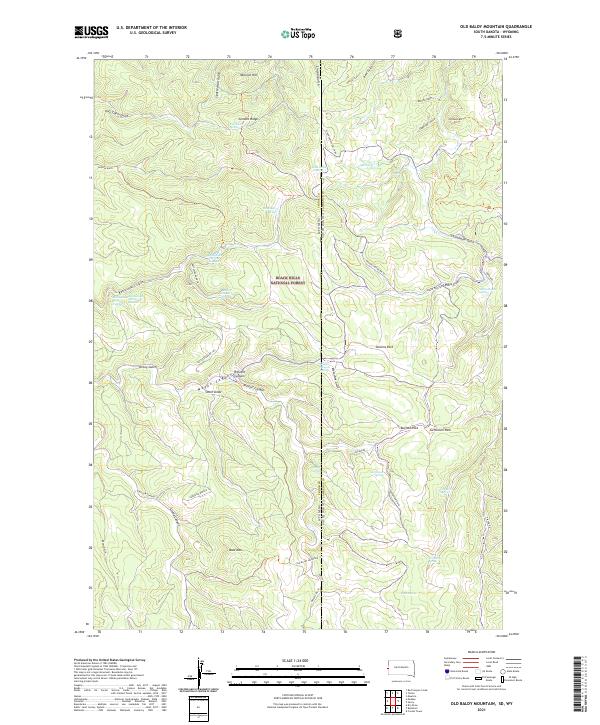
2021 Old Baldy Mountain
Lawrence County, SD
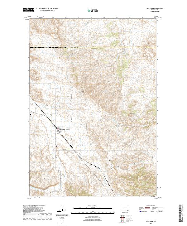
2021 Saint Onge
Lawrence County, SD
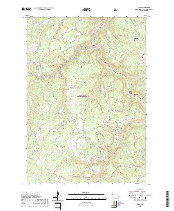
2021 Savoy
Lawrence County, SD
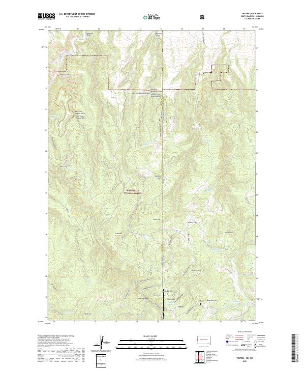
2021 Tinton
Lawrence County, SD