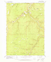
1961 Map of Savoy
USGS Topo · Published 1973About this map
Savoy sits at the junction of Spearfish Creek and Little Spearfish Creek, serving as a central point for the canyon's natural landmarks in the early 1960s. This survey records a landscape defined by the Black Hills National Forest, where steep gulches and high peaks like Ragged Top Mountain and Elk Mountain frame narrow valleys. Along the creek beds, the map traces an extensive Aqueduct system, illustrating the management of water resources through this high-elevation terrain.
Find a feature on this map
45 named features on this map. Tap any name to fly to it.
Don’t see what you’re looking for? This feature index may not catch every label — zoom into the map to look around manually.
Map Details
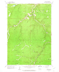
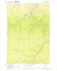
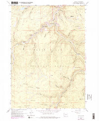
Editions of this 1961 Savoy Map
4 editions found
Other maps of this area

1894 · Deadwood
USGS Topo · 1:125,000

1898 · Sundance
USGS Topo · 1:125,000

1900 · Spearfish
USGS Topo · 1:62,500

1901 · Deadwood
USGS Topo · 1:125,000

1902 · Sundance
USGS Topo · 1:125,000

1915 · Spearfish
USGS Topo · 1:62,500

1916 · Deadwood
USGS Topo · 1:125,000

1953 · Rapid City
USGS Topo · 1:250,000

1954 · Gillette
USGS Topo · 1:250,000

1955 · Gillette
USGS Topo · 1:250,000