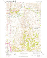
1954 Map of Jolly
USGS Topo · Published 1979About this map
The Chicago And North Western railroad cuts across the northern landscape of this South Dakota quadrangle, tracing a path near the settlement of Jolly. The region is defined by an intricate network of irrigation and water management, featuring the Redwater Canal, Concordia DITCH, and the winding course of the Redwater River. These features reflect the mid-century agricultural development of the Missouri River Basin.
Find a feature on this map
23 named features on this map. Tap any name to fly to it.
Don’t see what you’re looking for? This feature index may not catch every label — zoom into the map to look around manually.
Map Details
Editions of this 1954 Jolly Map
4 editions found
Other maps of this area

1894 · Deadwood
USGS Topo · 1:125,000

1899 · Sturgis
USGS Topo · 1:62,500

1900 · Spearfish
USGS Topo · 1:62,500

1901 · Deadwood
USGS Topo · 1:125,000

1905 · Saint Onge
USGS Topo · 1:62,500

1907 · Belle Fourche
USGS Topo · 1:125,000

1907 · Redwater
USGS Topo · 1:62,500

1915 · Spearfish
USGS Topo · 1:62,500

1915 · Sturgis
USGS Topo · 1:62,500

1916 · Deadwood
USGS Topo · 1:125,000