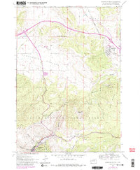
1961 Map of Deadwood North
USGS Topo · Published 1979About this map
Black Hills National Forest land dominates the rugged southern terrain of this quadrangle, where the storied settlement of Deadwood sits at the base of White Rocks. This 1961 field-checked map, later updated with 1970s revisions, reveals a landscape defined by the legacies of the Black Hills gold rush. Genealogists will find high value in the inclusion of Mt Moriah Cem, the resting place of several legendary frontier figures, alongside the Seth Bullock Grave and the Preacher Smith Monument. The transition from the high peaks like Elkhorn Peak to the sweeping Centennial Prairie illustrates the geography that channeled early transport and settlement. Along the northern reaches, the Chicago and North Western Railroad serves Whitewood, while the site of Crook City marks a significant waypoint on the road to the mines. The map also identifies several local burial sites, including St Ambrose Cem and Oak Ridge Cemetery, providing vital markers for local family history.
Find a feature on this map
32 named features on this map. Tap any name to fly to it.
Don’t see what you’re looking for? This feature index may not catch every label — zoom into the map to look around manually.
Map Details
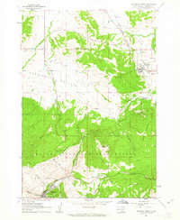
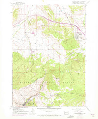
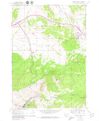
Editions of this 1961 Deadwood North Map
4 editions found
Other maps of this area

1894 · Deadwood
USGS Topo · 1:125,000

1899 · Sturgis
USGS Topo · 1:62,500

1900 · Spearfish
USGS Topo · 1:62,500

1901 · Deadwood
USGS Topo · 1:125,000

1905 · Saint Onge
USGS Topo · 1:62,500

1907 · Belle Fourche
USGS Topo · 1:125,000

1907 · Redwater
USGS Topo · 1:62,500

1915 · Spearfish
USGS Topo · 1:62,500

1915 · Sturgis
USGS Topo · 1:62,500

1916 · Deadwood
USGS Topo · 1:125,000