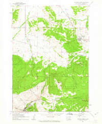
1961 Map of Deadwood North
USGS Topo · Published 1963About this map
The northern reaches of the Black Hills are defined here by a transition from the open expanses of Centennial Prairie to the steep, wooded gulches of the Black Hills National Forest. Historical focal points include the frontier mining town of Deadwood, where researchers can locate the Mt Moriah Cem and the Seth Bullock Grave. The landscape is etched with local history, from the Preacher Smith Monument in Slaughterhouse Gulch to the path of the Chicago and North Western railroad as it winds through Whitewood and Crook City. The map reveals a high density of early burial sites and family landmarks like Anderson Cem, reflecting the early settlement patterns and the arduous life in these South Dakota highlands. Dominant peaks like Elkhorn Peak and White Rocks provide orientation for the rugged terrain where mining, railroading, and forestry converged.
Find a feature on this map
38 named features on this map. Tap any name to fly to it.
Don’t see what you’re looking for? This feature index may not catch every label — zoom into the map to look around manually.
Map Details
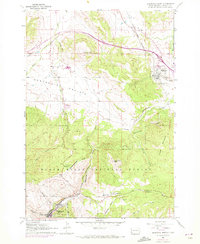
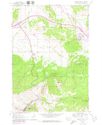
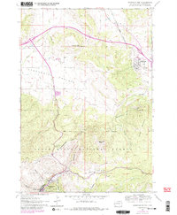
Editions of this 1961 Deadwood North Map
4 editions found
Other maps of this area

1894 · Deadwood
USGS Topo · 1:125,000

1899 · Sturgis
USGS Topo · 1:62,500

1900 · Spearfish
USGS Topo · 1:62,500

1901 · Deadwood
USGS Topo · 1:125,000

1905 · Saint Onge
USGS Topo · 1:62,500

1907 · Belle Fourche
USGS Topo · 1:125,000

1907 · Redwater
USGS Topo · 1:62,500

1915 · Spearfish
USGS Topo · 1:62,500

1915 · Sturgis
USGS Topo · 1:62,500

1916 · Deadwood
USGS Topo · 1:125,000