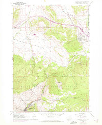
1961 Map of Deadwood North
USGS Topo · Published 1972About this map
Black Hills National Forest dominates the southern landscape of this 1961 survey, where the rugged topography drops into the broad expanse of Centennial Prairie. The historic mining and settlement patterns of Lawrence County are clearly visible, anchored by Deadwood at the base of Spruce Gulch. Researchers can find significant local landmarks including the Mt Moriah Cem and the Seth Bullock Grave, alongside the Preacher Smith Monument. The Chicago and North Western railroad corridor follows the winding path of Whitewood Creek, connecting the southern hills to the settlement of Whitewood and the site of Crook City. This era of the map includes purple revisions from 1971, highlighting infrastructure changes like the radio towers at Radio Towers (KDSJ) and local gravel pits.
Find a feature on this map
39 named features on this map. Tap any name to fly to it.
Don’t see what you’re looking for? This feature index may not catch every label — zoom into the map to look around manually.
Map Details
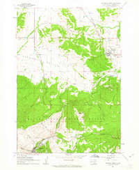
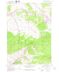
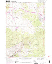
Editions of this 1961 Deadwood North Map
4 editions found
Other maps of this area

1894 · Deadwood
USGS Topo · 1:125,000

1899 · Sturgis
USGS Topo · 1:62,500

1900 · Spearfish
USGS Topo · 1:62,500

1901 · Deadwood
USGS Topo · 1:125,000

1905 · Saint Onge
USGS Topo · 1:62,500

1907 · Belle Fourche
USGS Topo · 1:125,000

1907 · Redwater
USGS Topo · 1:62,500

1915 · Spearfish
USGS Topo · 1:62,500

1915 · Sturgis
USGS Topo · 1:62,500

1916 · Deadwood
USGS Topo · 1:125,000