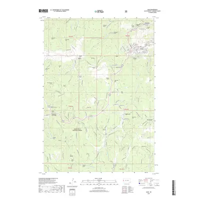
2017 Map of Lead
USGS Topo · Published 2017About this map
The northern edge of the Black Hills National Forest defines this landscape in Lawrence County, where the gold-mining heritage of the Black Hills is imprinted on the terrain. Steep gulches and high peaks surrounding the mining city of Lead reveal a complex network of industrial and community development. The small settlement of Blacktail sits nestled in the narrow drainages north of the primary townsite, illustrative of the scattered mining camps that emerged during the region’s boom years. Throughout the area, specialized features such as the Mountain Lawn Cem and the George Mickelson Trl showcase the intersection of historic communal spaces and modern land use. The map provides a detailed view of the high-elevation topography, including landmarks like Terry Peak and Sugarloaf Mtn, which have long served as vital orienting points for local miners and modern residents alike.
Find a feature on this map
1 named feature on this map. Tap any name to fly to it.
Don’t see what you’re looking for? This feature index may not catch every label — zoom into the map to look around manually.
Map Details
Editions of this 2017 Lead Map
This is the sole edition of this map. No revisions or reprints were ever made.
Other maps of this area

1894 · Deadwood
USGS Topo · 1:125,000

1899 · Sturgis
USGS Topo · 1:62,500

1900 · Spearfish
USGS Topo · 1:62,500

1901 · Deadwood
USGS Topo · 1:125,000

1915 · Spearfish
USGS Topo · 1:62,500

1915 · Sturgis
USGS Topo · 1:62,500

1916 · Deadwood
USGS Topo · 1:125,000

1953 · Rapid City
USGS Topo · 1:250,000
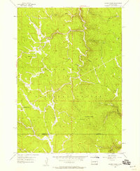
1956 · Crooks Tower
USGS Topo · 1:24,000
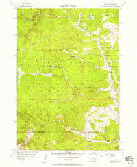
1956 · Nahant
USGS Topo · 1:24,000