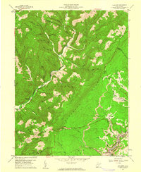
1959 Map of Lead Mine
USGS Topo · Published 1961About this map
Backbone Mountain and Laurel Mountain dominate this 1959 survey of the West Virginia highlands, where industrial activity and isolated mountain settlements coexist. The southeastern corner of the quadrangle reveals a concentrated corridor of extraction and transport along the North Branch Potomac River, characterized by numerous Strip Mines and the rail infrastructure of the Western Maryland railroad. Settlements such as Thomas, Benbush, and Pierce are clustered near these industrial sites, while the small community of Douglas serves the local mining population.
Find a feature on this map
60 named features on this map. Tap any name to fly to it.
Don’t see what you’re looking for? This feature index may not catch every label — zoom into the map to look around manually.
Map Details
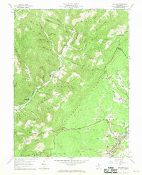
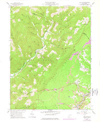
Editions of this 1959 Lead Mine Map
3 editions found
Other maps of this area

1886 · St. George
USGS Topo · 1:125,000

1891 · St. George
USGS Topo · 1:125,000

1895 · Piedmont
USGS Topo · 1:125,000

1899 · Oakland
USGS Topo · 1:62,500

1900 · Oakland
USGS Topo · 1:62,500

1907 · Kingwood
USGS Topo · 1:62,500

1908 · Parsons
USGS Topo · 1:62,500

1916 · Davis
USGS Topo · 1:48,000

1918 · Davis
USGS Topo · 1:62,500

1919 · Davis
USGS Topo · 1:62,500