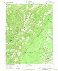
1959 Map of Lead Mine
USGS Topo · Published 1970About this map
Backbone Mountain and Leadmine Mountain dominate this part of the West Virginia highlands, where industrial activity and remote mountain life converge. In the south, the Western Maryland railroad winds through the canyon of the North Branch, serving the mining communities of Thomas, Coketon, and Douglas. This corridor is heavily marked by Strip Mines and a Quarry, illustrating the area's intensive resource extraction. Away from the rails, the landscape is defined by the Monongahela National Forest and the winding course of Horseshoe Run. Small settlements and family landmarks such as Shafer, Lead Mine, and Sugarland are scattered through the valleys, each often anchored by local institutions like Sugarland Sch and Mt Olive Ch. The numerous small burial grounds, including Hile Cem and Knotts Cem, provide essential evidence of early families in this difficult terrain.
Find a feature on this map
68 named features on this map. Tap any name to fly to it.
Don’t see what you’re looking for? This feature index may not catch every label — zoom into the map to look around manually.
Map Details
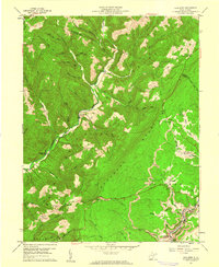
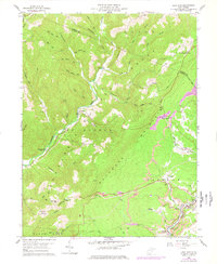
Editions of this 1959 Lead Mine Map
3 editions found
Other maps of this area

1886 · St. George
USGS Topo · 1:125,000

1891 · St. George
USGS Topo · 1:125,000

1895 · Piedmont
USGS Topo · 1:125,000

1899 · Oakland
USGS Topo · 1:62,500

1900 · Oakland
USGS Topo · 1:62,500

1907 · Kingwood
USGS Topo · 1:62,500

1908 · Parsons
USGS Topo · 1:62,500

1916 · Davis
USGS Topo · 1:48,000

1918 · Davis
USGS Topo · 1:62,500

1919 · Davis
USGS Topo · 1:62,500