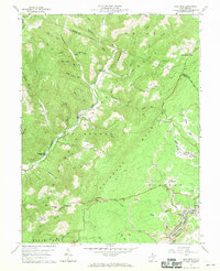
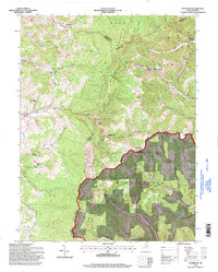
1959 Map of Lead Mine
USGS Topo · Published 1961This historical map portrays the area of Lead Mine in 1959, primarily covering Tucker County as well as portions of Preston County. Featuring a scale of 1:24000, this map provides a highly detailed snapshot of the terrain, roads, buildings, counties, and historical landmarks in the Lead Mine region at the time. Published in 1961, it is one of 3 known editions of this map due to revisions or reprints.
Map Details
Editions of this 1959 Lead Mine Map
3 editions found
Historical Maps of Douglas Through Time
10 maps found
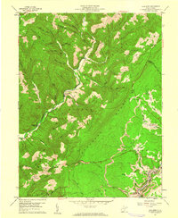
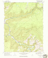
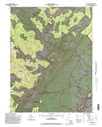
1959 Colebank
Tucker County, WV
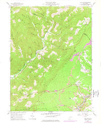
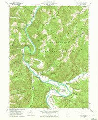
1959 Lead Mine
Tucker County, WV
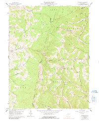
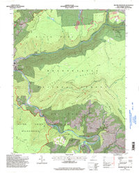
1959 Saint George
Tucker County, WV
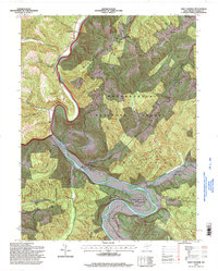
1968 Blackwater Falls
Tucker County, WV
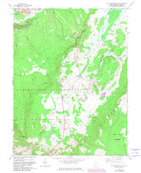
1968 Mozark Mountain
Tucker County, WV
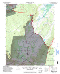
1995 Blackwater Falls
Tucker County, WV
1995 Colebank
Tucker County, WV
1995 Lead Mine
Tucker County, WV
1995 Mozark Mountain
Tucker County, WV
1995 Saint George
Tucker County, WV