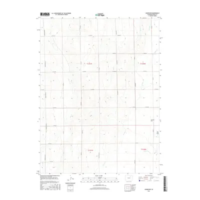
2016 Map of Leader NW
USGS Topo · Published 2016About this map
Antelope Flats dominates the high plains of eastern Adams County, where the landscape is defined by a grid of agricultural section roads and the winding paths of seasonal drainages. This high-plains environment is characterized by a network of creeks including Mule Cr and Rock Cr, which carve shallow depressions through the prairie. The layout of the land reflects the Public Land Survey System, with roads like Bradbury Krebs Rd and Palestine Rd following township and range lines.
Find a feature on this map
30 named features on this map. Tap any name to fly to it.
Don’t see what you’re looking for? This feature index may not catch every label — zoom into the map to look around manually.
Map Details
Editions of this 2016 Leader NW Map
This is the sole edition of this map. No revisions or reprints were ever made.
Other maps of this area

1950 · South Roggen
USGS Topo · 1:24,000

1950 · Wiggins SW
USGS Topo · 1:24,000

1950 · Roper School
USGS Topo · 1:24,000

1950 · Hoyt
USGS Topo · 1:24,000

1951 · Hoyt
USGS Topo · 1:24,000

1951 · Roper School
USGS Topo · 1:24,000

1951 · Living Springs
USGS Topo · 1:24,000

1951 · Leader NW
USGS Topo · 1:24,000

1951 · Leader SE
USGS Topo · 1:24,000

1951 · Leader
USGS Topo · 1:24,000