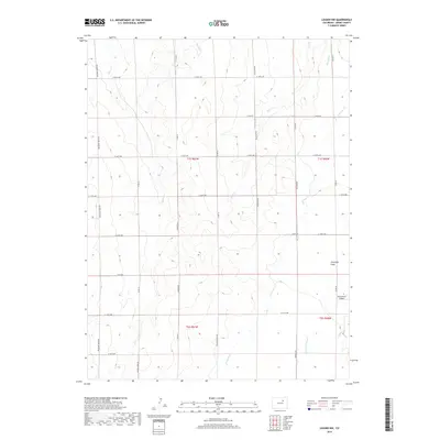
2019 Map of Leader NW
USGS Topo · Published 2019About this map
Antelope Flats dominates this high plains landscape in eastern Adams County, where the topography is defined by a series of north-flowing intermittent drainage systems. Small creeks such as Goose Cr, Mule Cr, and Rock Cr cut through the terrain, illustrating the natural water runoff patterns of the region. The map reveals a highly structured section-line road network, including thoroughfares like Bradbury Krebs Rd and Palestine Rd, which partition the land into the traditional grid of the Public Land Survey System.
Find a feature on this map
31 named features on this map. Tap any name to fly to it.
Don’t see what you’re looking for? This feature index may not catch every label — zoom into the map to look around manually.
Map Details
Editions of this 2019 Leader NW Map
This is the sole edition of this map. No revisions or reprints were ever made.
Other maps of this area

1950 · South Roggen
USGS Topo · 1:24,000

1950 · Wiggins SW
USGS Topo · 1:24,000

1950 · Roper School
USGS Topo · 1:24,000

1950 · Hoyt
USGS Topo · 1:24,000

1951 · Hoyt
USGS Topo · 1:24,000

1951 · Roper School
USGS Topo · 1:24,000

1951 · Living Springs
USGS Topo · 1:24,000

1951 · Leader NW
USGS Topo · 1:24,000

1951 · Leader SE
USGS Topo · 1:24,000

1951 · Leader
USGS Topo · 1:24,000