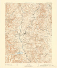
1891 Map of Leadville
USGS Topo · Published 1930About this map
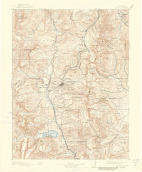
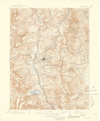
Leadville sits at the heart of this late 19th-century survey, surrounded by the intense mining activity of Carbonate Hill, Iron Hill, and Stray Horse Gulch. The map illustrates a high-altitude industrial landscape where the Denver and Rio Grande Railroad and Colorado Midland Railway compete for passage through the Sawatch and Mosquito ranges. Beyond the silver camps, the terrain is dominated by the highest peaks of the Rockies, including Mt Massive and Mt Elbert.
Find a feature on this map
160 named features on this map. Tap any name to fly to it.
Don’t see what you’re looking for? This feature index may not catch every label — zoom into the map to look around manually.
Map Details
Editions of this 1891 Leadville Map
7 editions found
Other maps of this area

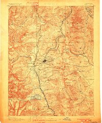
1889 · Leadville
USGS Topo · 1:125,000

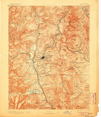
1891 · Leadville
USGS Topo · 1:125,000

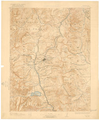
1909 · Mount Jackson
USGS Topo · 1:125,000

1911 · Mount Jackson
USGS Topo · 1:125,000

1924 · Montezuma
USGS Topo · 1:62,500

1926 · Montezuma
USGS Topo · 1:62,500

1929 · Dillon
USGS Topo · 1:62,500

1933 · Montezuma
USGS Topo · 1:62,500

1934 · Climax
USGS Topo · 1:48,000

1934 · Minturn
USGS Topo · 1:62,500