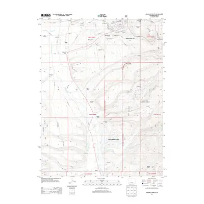
2013 Map of Leadville South
USGS Topo · Published 2013About this map
The high-altitude industrial and mountain landscape of Lake County is documented here during the early 21st century. The map centers on the historical mining geography of California Gulch and Stray Horse Gulch, areas that defined the region's mineral wealth. The industrial legacy is anchored by the Resurrection Mill near Carbonate Hill, while the modern community is served by the Colorado Mtn Coll Timberline Campus and the Lake County Airport.
Find a feature on this map
96 named features on this map. Tap any name to fly to it.
Don’t see what you’re looking for? This feature index may not catch every label — zoom into the map to look around manually.
Map Details
Editions of this 2013 Leadville South Map
This is the sole edition of this map. No revisions or reprints were ever made.
Other maps of this area

1889 · Leadville
USGS Topo · 1:125,000

1891 · Leadville
USGS Topo · 1:125,000

1934 · Climax
USGS Topo · 1:48,000

1935 · Mount Elbert
USGS Topo · 1:62,500

1938 · Mt. Lincoln
USGS Topo · 1:48,000

1938 · Mount Elbert
USGS Topo · 1:62,500

1939 · Mount Elbert
USGS Topo · 1:62,500

1942 · Leadville
USGS Topo · 1:125,000

1945 · Mount Lincoln
USGS Topo · 1:62,500

1949 · Holy Cross
USGS Topo · 1:62,500