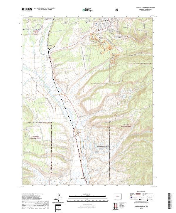
2022 Map of Leadville South
USGS Topo · Published 2022About this map
The high-elevation mining and transportation legacy of Lake County is centered here at the southern edge of Leadville. The terrain is deeply marked by industrial history, featuring the Resurrection Mill and the expansive mining districts around Carbonate Hill and Iron Hill. Settlements like Malta and Stringtown sit along the valley floor, connected by a dense network of modern and historic routes including the Mineral Belt Trl.
Find a feature on this map
82 named features on this map. Tap any name to fly to it.
Don’t see what you’re looking for? This feature index may not catch every label — zoom into the map to look around manually.
Map Details
Editions of this 2022 Leadville South Map
This is the sole edition of this map. No revisions or reprints were ever made.
Other maps of this area

1889 · Leadville
USGS Topo · 1:125,000

1891 · Leadville
USGS Topo · 1:125,000

1934 · Climax
USGS Topo · 1:48,000

1935 · Mount Elbert
USGS Topo · 1:62,500

1938 · Mt. Lincoln
USGS Topo · 1:48,000

1938 · Mount Elbert
USGS Topo · 1:62,500

1939 · Mount Elbert
USGS Topo · 1:62,500

1942 · Leadville
USGS Topo · 1:125,000

1945 · Mount Lincoln
USGS Topo · 1:62,500

1949 · Holy Cross
USGS Topo · 1:62,500