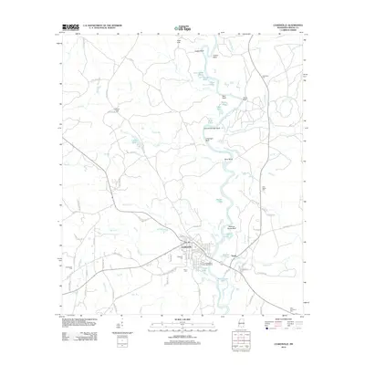
2012 Map of Leakesville
USGS Topo · Published 2012About this map
Leakesville serves as the focal point of this Greene County survey, situated where the Chickasawhay River meanders through a landscape defined by significant river bluffs and an intricate network of lakes and sloughs. The river corridor is marked by prominent high ground such as Churchwell High Bluff, Meeting House Bluff, and Coaker Bluff, reflecting the importance of these overlooks and river landings to the local geography. To the east, the settlement of Dueitt sits near Faulk Ditch, while the surrounding timberlands are dotted with community landmarks including Jane Hills and Silver Hill.
Find a feature on this map
96 named features on this map. Tap any name to fly to it.
Don’t see what you’re looking for? This feature index may not catch every label — zoom into the map to look around manually.
Map Details
Editions of this 2012 Leakesville Map
This is the sole edition of this map. No revisions or reprints were ever made.
Other maps of this area

1942 · Deer Park
USGS Topo · 1:62,500

1943 · Deer Park
USGS Topo · 1:62,500

1953 · Hattiesburg
USGS Topo · 1:250,000

1958 · Hattiesburg
USGS Topo · 1:250,000

1964 · Clark
USGS Topo · 1:24,000

1964 · Avera
USGS Topo · 1:24,000

1972 · Leakesville
USGS Topo · 1:24,000
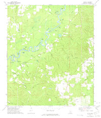
1972 · Vernal
USGS Topo · 1:24,000

1973 · Jonathan
USGS Topo · 1:24,000
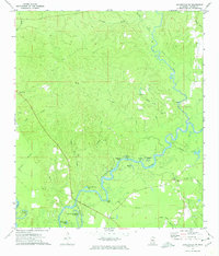
1973 · Leakesville SW
USGS Topo · 1:24,000