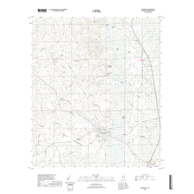
2018 Map of Leakesville
USGS Topo · Published 2018About this map
The Chickasawhay River carves a winding path through this corner of Greene County, defining a landscape of dramatic river bends and prominent elevations. The terrain is marked by notable heights such as Churchwell High Bluff, Gants Bluff, and Chat High Bluff, which overlook a network of oxbows and river-fed waters including Saluda Lake, Clear Lake, and Cutoff Lake. This drainage pattern suggests a river system with a long history of shifting channels, creating a mosaic of wetlands and ridges that have shaped the local settlement patterns.
Find a feature on this map
117 named features on this map. Tap any name to fly to it.
Don’t see what you’re looking for? This feature index may not catch every label — zoom into the map to look around manually.
Map Details
Editions of this 2018 Leakesville Map
This is the sole edition of this map. No revisions or reprints were ever made.
Other maps of this area

1942 · Deer Park
USGS Topo · 1:62,500

1943 · Deer Park
USGS Topo · 1:62,500

1953 · Hattiesburg
USGS Topo · 1:250,000

1958 · Hattiesburg
USGS Topo · 1:250,000

1964 · Clark
USGS Topo · 1:24,000

1964 · Avera
USGS Topo · 1:24,000

1972 · Leakesville
USGS Topo · 1:24,000
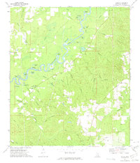
1972 · Vernal
USGS Topo · 1:24,000

1973 · Jonathan
USGS Topo · 1:24,000
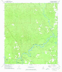
1973 · Leakesville SW
USGS Topo · 1:24,000