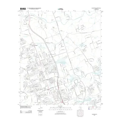
2013 Map of Leander
USGS Topo · Published 2013About this map
Leander and its surrounding hill country are captured here during a period of rapid suburban transformation in the early 21st century. The expansion of residential subdivisions and roadway infrastructure, including the toll-road corridor of 183a, is juxtaposed against a legacy of water management and small-scale aviation. Numerous flood control structures, such as Soil Conservation Service Site 3 Reservoir and Soil Conservation Service Site 4 Reservoir, are integrated into the modern neighborhood layouts, tracing the paths of Spanish Oak Cr and Block House Cr. Local aviation history is well-represented by several private and community flight strips, including Kittie Hill Airport and the Breakaway Park Airport, which remained as distinct landmarks amid the densifying residential landscape of Walkerton and White Stone.
Find a feature on this map
308 named features on this map. Tap any name to fly to it.
Don’t see what you’re looking for? This feature index may not catch every label — zoom into the map to look around manually.
Map Details
Editions of this 2013 Leander Map
This is the sole edition of this map. No revisions or reprints were ever made.
Other maps of this area

1893 · Georgetown
USGS Topo · 1:125,000

1896 · Austin
USGS Topo · 1:125,000

1897 · Austin
USGS Topo · 1:125,000

1910 · Austin
USGS Topo · 1:125,000

1925 · Georgetown 4-b
USGS Topo · 1:48,000

1928 · Round Rock
USGS Topo · 1:62,500

1930 · Austin-2
USGS Topo · 1:48,000

1932 · Mt. Bonnell
USGS Topo · 1:62,500

1949 · Round Rock
USGS Topo · 1:62,500

1951 · Round Rock
USGS Topo · 1:62,500