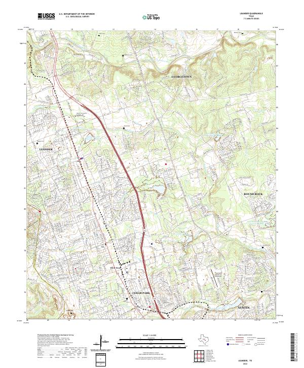
2022 Map of Leander
USGS Topo · Published 2022About this map
Leander and Georgetown anchor the northern reaches of this contemporary landscape, where suburban expansion meets the varied drainages of the San Gabriel and Brushy Creek systems. The map details a complex transition from established rural landmarks to modern infrastructure, including the Austin Community College: San Gabriel Campus and the Hank Sasser Airport at Breakaway. For those tracing family histories, numerous burial grounds are scattered across the terrain, from the Bagdad Cem and New Hope Cem in the west to the Whitley Cem and Gilreath Cem further east.
Find a feature on this map
375 named features on this map. Tap any name to fly to it.
Don’t see what you’re looking for? This feature index may not catch every label — zoom into the map to look around manually.
Map Details
Editions of this 2022 Leander Map
This is the sole edition of this map. No revisions or reprints were ever made.
Other maps of this area

1893 · Georgetown
USGS Topo · 1:125,000

1896 · Austin
USGS Topo · 1:125,000

1897 · Austin
USGS Topo · 1:125,000

1910 · Austin
USGS Topo · 1:125,000

1925 · Georgetown 4-b
USGS Topo · 1:48,000

1928 · Round Rock
USGS Topo · 1:62,500

1930 · Austin-2
USGS Topo · 1:48,000

1932 · Mt. Bonnell
USGS Topo · 1:62,500

1949 · Round Rock
USGS Topo · 1:62,500

1951 · Round Rock
USGS Topo · 1:62,500