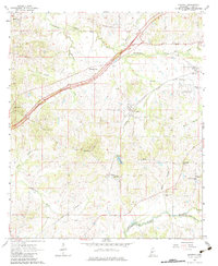
1963 Map of Learned
USGS Topo · Published 1983About this map
Learned serves as a central hub for this rural Hinds County landscape, where the Illinois Central railroad and the Natchez Trace Parkway cut distinct paths through the rolling creek valleys. The map reveals a deeply rooted community structure defined by numerous country churches and family-named cemeteries, such as Reeves Chapel, Auburn Cem, and Cherry Grove Ch Cem. These landmarks, alongside smaller settlements like Morning Star and Lebanon, illustrate the mid-century social geography of the region.
Find a feature on this map
44 named features on this map. Tap any name to fly to it.
Don’t see what you’re looking for? This feature index may not catch every label — zoom into the map to look around manually.
Map Details
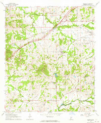
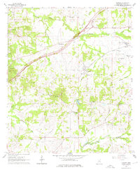
Editions of this 1963 Learned Map
3 editions found
Other maps of this area

1903 · Jackson
USGS Topo · 1:125,000

1934 · Raymond
USGS Topo · 1:48,000

1937 · Raymond
USGS Topo · 1:62,500

1937 · Terry
USGS Topo · 1:48,000

1938 · Edwards
USGS Topo · 1:62,500

1942 · Raymond
USGS Topo · 1:62,500

1943 · Terry
USGS Topo · 1:62,500

1955 · Jackson
USGS Topo · 1:250,000

1961 · Jackson
USGS Topo · 1:250,000

1962 · Jackson
USGS Topo · 1:250,000