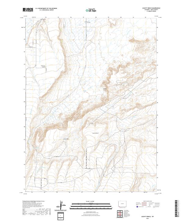
2021 Map of Leavitt Bench
USGS Topo · Published 2021About this map
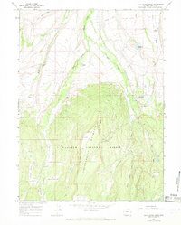
Leavitt Bench dominates this high-plains landscape in Uinta County, where the topography transitions from the open stretches of Poverty Flats to the complex drainage systems of the high desert. The map reveals a land defined by water management and natural hydrology, featuring the Milich Ditch and several reliable water sources such as Pitcher Spring and Corral Spring. These features suggest a history tied to seasonal grazing and ranching, where isolated springs were vital hubs for livestock.
Find a feature on this map
27 named features on this map. Tap any name to fly to it.
Don’t see what you’re looking for? This feature index may not catch every label — zoom into the map to look around manually.
Map Details
Editions of this 2021 Leavitt Bench Map
This is the sole edition of this map. No revisions or reprints were ever made.
Other maps of this area

1954 · Ogden
USGS Topo · 1:250,000

1958 · Ogden
USGS Topo · 1:250,000

1960 · Ogden
USGS Topo · 1:250,000

1964 · Reed Reservoir
USGS Topo · 1:24,000

1964 · Fort Bridger
USGS Topo · 1:24,000

1964 · Mountain View
USGS Topo · 1:24,000
1964 · Lonetree
USGS Topo · 1:24,000
1964 · Table Mountain
USGS Topo · 1:24,000
1964 · Leavitt Bench
USGS Topo · 1:24,000
1964 · Buck Fever Ridge
USGS Topo · 1:24,000