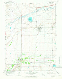
1964 Map of Fort Bridger
USGS Topo · Published 1968About this map
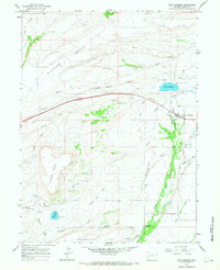
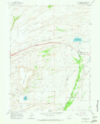
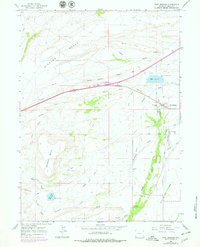
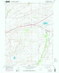
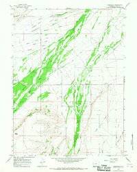
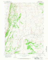
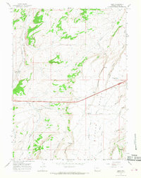
The Historical Site of Fort Bridger anchors this mid-century topographic study, appearing at a time when the original frontier outpost and the neighboring settlement of Millburne were connected by a network of canals and trails. The map preserves the alignment of the Emigrant Trail as it passes south of Bridger Butte, providing a tangible link to the westward migration era. The landscape is defined by irrigation and water management, evidenced by the numerous Canal systems feeding off Blacks Fork and Little Groshon Creek. High desert terrain features such as Bigelow Bench and Nebraska Flat overlook a series of modern developments, including substantial Pipelines and industrial Quarry sites. For genealogists, the location of the local Cem near the fort and the more southern Millburne Cem offer specific points of interest for family research in Uinta County.
Find a feature on this map
25 named features on this map. Tap any name to fly to it.
Don’t see what you’re looking for? This feature index may not catch every label — zoom into the map to look around manually.
Map Details
Editions of this 1964 Fort Bridger Map
4 editions found
Other maps of this area

1954 · Ogden
USGS Topo · 1:250,000

1958 · Ogden
USGS Topo · 1:250,000

1960 · Ogden
USGS Topo · 1:250,000
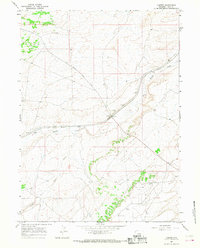
1964 · Carter
USGS Topo · 1:24,000
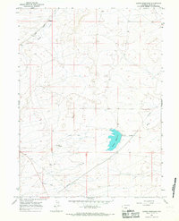
1964 · Mountain View
USGS Topo · 1:24,000
1964 · Austin Reservoir
USGS Topo · 1:24,000
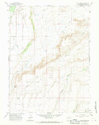
1964 · Leavitt Bench
USGS Topo · 1:24,000
1964 · Robertson
USGS Topo · 1:24,000
1965 · Bridger
USGS Topo · 1:24,000
1965 · Leroy
USGS Topo · 1:24,000