
1965 Map of Leroy
USGS Topo · Published 1968About this map
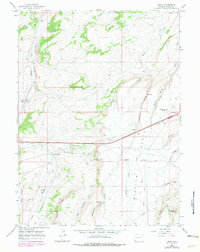
The high plains of Uinta County are defined here by the crossing of the Union Pacific railroad through the small settlement of Leroy, a stop accompanied by a prominent Water Tank. This mid-1960s landscape preserves the path of the Emigrant Trail as it winds across the south, skirting the base of Meyers Ridge and Sugarloaf Butte. The area exhibits a mix of ranching and early industrial footprints, where irrigation features like the Oasis Ditch and the Bigelow Bench Reservoir contrast with numerous resource extraction sites, including a Coal Mine Draw and several gravel and borrow pits. The terrain transitions from the riparian corridor of Muddy Creek to the broad expanse of Bigelow Bench, revealing a network of springs and draws such as Musselman Springs and Soda Hollow that sustained both historic travelers and local agriculture in this arid western environment.
Find a feature on this map
28 named features on this map. Tap any name to fly to it.
Don’t see what you’re looking for? This feature index may not catch every label — zoom into the map to look around manually.
Map Details
Editions of this 1965 Leroy Map
2 editions found
Other maps of this area

1954 · Ogden
USGS Topo · 1:250,000

1958 · Ogden
USGS Topo · 1:250,000

1960 · Ogden
USGS Topo · 1:250,000

1964 · Fort Bridger
USGS Topo · 1:24,000

1964 · Carter
USGS Topo · 1:24,000
1964 · Robertson
USGS Topo · 1:24,000

1965 · Bridger
USGS Topo · 1:24,000

1965 · Ragan
USGS Topo · 1:24,000

1965 · Meadow Draw
USGS Topo · 1:24,000
1965 · Hague Creek
USGS Topo · 1:24,000