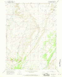
1965 Map of Hague Creek
USGS Topo · Published 1968About this map
Piedmont stands as the primary settlement in this 1960s Uinta County landscape, positioned near the Piedmont Cem and the Little Piedmont Reservoir. The terrain is defined by a complex network of draws and ridges, including Musselman Draw and Meyers Ridge, reflecting a high-altitude ranching environment. Historical passage is marked by the presence of the Emigrant Trail, which traverses the northern section of the map, while water management for the arid region is visible through features like the Bigelow Ditch and Pate Ditch. Significant landmarks such as Haystack Butte and Chapman Butte rise above the surrounding Bigelow Bench, framing the drainages of Muddy Creek and the Blacks Fork river system. This survey documents the intersection of pioneer-era transit routes and mid-century water infrastructure in the high Wyoming plains.
Find a feature on this map
38 named features on this map. Tap any name to fly to it.
Don’t see what you’re looking for? This feature index may not catch every label — zoom into the map to look around manually.
Map Details
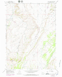
Editions of this 1965 Hague Creek Map
2 editions found
Other maps of this area

1954 · Ogden
USGS Topo · 1:250,000

1958 · Ogden
USGS Topo · 1:250,000

1960 · Ogden
USGS Topo · 1:250,000

1964 · Fort Bridger
USGS Topo · 1:24,000
1964 · Buck Fever Ridge
USGS Topo · 1:24,000
1964 · Robertson
USGS Topo · 1:24,000

1965 · Ragan
USGS Topo · 1:24,000

1965 · Leroy
USGS Topo · 1:24,000
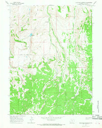
1965 · Moslander Reservoir
USGS Topo · 1:24,000
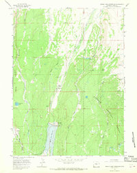
1965 · Meeks Cabin Reservoir
USGS Topo · 1:24,000