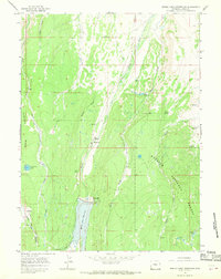
1965 Map of Meeks Cabin Reservoir
USGS Topo · Published 1968About this map
Meeks Cabin Reservoir and its newly constructed Meeks Cabin Dam dominate this mid-1960s landscape, illustrating the water management infrastructure of the high mountain basin. The presence of Meeks Cabin (Historical) near the reservoir's edge provides a direct link to the area's earlier homesteading or pastoral era, while the surrounding Wasatch National Forest indicates the long-standing importance of federal land management.
Find a feature on this map
29 named features on this map. Tap any name to fly to it.
Don’t see what you’re looking for? This feature index may not catch every label — zoom into the map to look around manually.
Map Details
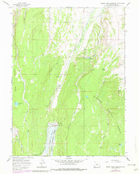
Editions of this 1965 Meeks Cabin Reservoir Map
2 editions found
Other maps of this area

1885 · Uinta
USGS Topo · 1:250,000

1901 · Hayden Peak
USGS Topo · 1:125,000

1903 · Hayden Peak
USGS Topo · 1:125,000

1905 · Gilbert Peak
USGS Topo · 1:125,000

1906 · Gilbert Peak
USGS Topo · 1:125,000

1954 · Salt Lake City
USGS Topo · 1:250,000

1954 · Ogden
USGS Topo · 1:250,000

1958 · Ogden
USGS Topo · 1:250,000

1958 · Salt Lake City
USGS Topo · 1:250,000

1960 · Ogden
USGS Topo · 1:250,000