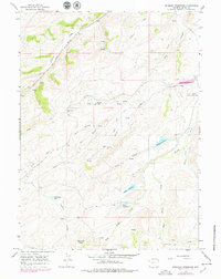
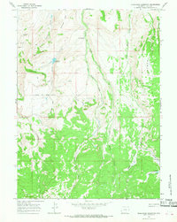
1965 Map of Piedmont Reservoir
USGS Topo · Published 1979About this map
The Union Pacific corridor cuts through this high-country landscape in the 1960s, following the drainage of Pacific Creek northwest of the small settlement of Piedmont. This area serves as a critical water management zone for the region, characterized by a series of significant man-made impoundments including Piedmont Reservoir, Guild Reservoir, and Little Piedmont Reservoir. The presence of the Emigrant Trail cutting across the northern reaches provides a window into the historical movement of travelers across Uinta County before modern infrastructure took over.
Find a feature on this map
31 named features on this map. Tap any name to fly to it.
Don’t see what you’re looking for? This feature index may not catch every label — zoom into the map to look around manually.
Map Details
Editions of this 1965 Piedmont Reservoir Map
2 editions found
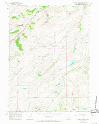
Other maps of this area

1954 · Ogden
USGS Topo · 1:250,000

1958 · Ogden
USGS Topo · 1:250,000

1960 · Ogden
USGS Topo · 1:250,000

1965 · Ragan
USGS Topo · 1:24,000

1965 · Leroy
USGS Topo · 1:24,000

1965 · Sulphur Creek Reservoir
USGS Topo · 1:24,000
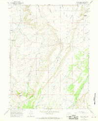
1965 · Hague Creek
USGS Topo · 1:24,000

1965 · Guild Hollow
USGS Topo · 1:24,000
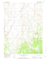
1965 · Pine Knoll
USGS Topo · 1:24,000
1965 · Moslander Reservoir
USGS Topo · 1:24,000