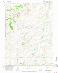
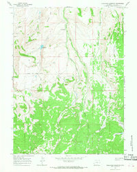
1965 Map of Piedmont Reservoir
USGS Topo · Published 1968About this map
The historic Union Pacific railroad corridor cuts through this corner of Uinta County, following the drainage of Antelope Creek toward the small settlement of Piedmont. This landscape is a nexus of early Western transit, where the tracks parallel the legendary Emigrant Trail, visible here as it winds through Grassy Draw and Emigrant Hollow. The high desert terrain is defined by a network of seasonal water management features, including the eponymous Piedmont Reservoir, Guild Reservoir, and the curiously named Thirtythree Pond.
Find a feature on this map
33 named features on this map. Tap any name to fly to it.
Don’t see what you’re looking for? This feature index may not catch every label — zoom into the map to look around manually.
Map Details
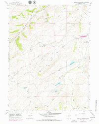
Editions of this 1965 Piedmont Reservoir Map
2 editions found
Other maps of this area

1954 · Ogden
USGS Topo · 1:250,000

1958 · Ogden
USGS Topo · 1:250,000

1960 · Ogden
USGS Topo · 1:250,000

1965 · Ragan
USGS Topo · 1:24,000

1965 · Leroy
USGS Topo · 1:24,000

1965 · Sulphur Creek Reservoir
USGS Topo · 1:24,000
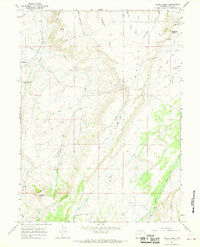
1965 · Hague Creek
USGS Topo · 1:24,000

1965 · Guild Hollow
USGS Topo · 1:24,000
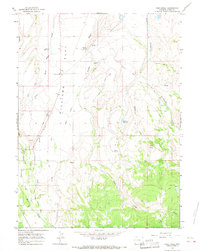
1965 · Pine Knoll
USGS Topo · 1:24,000
1965 · Moslander Reservoir
USGS Topo · 1:24,000