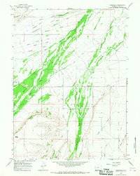
1964 Map of Fort Bridger
USGS Topo · Published 1973About this map
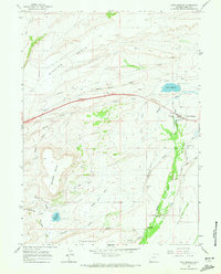
Fort Bridger stands as a central landmark in this 1960s study of southwestern Wyoming, where the historic crossroads is mapped alongside its namesake Fort Bridger Canal and a designated Historical Site. The landscape reflects a transition from early pioneer routes to mid-century agricultural and industrial development. The path of the Emigrant Trail remains a visible thread across the terrain, passing through a high-altitude basin defined by Bridger Butte and Nebraska Flat. To the south, the settlement of Millburne is situated near the Blacks Fork river, supported by a network of local irrigation works like the Austin Canal. Genealogists will find specific value in the placement of the Fort Bridger Cem and Millburne Cem, while the presence of various quarries and gravel pits suggests the local material extraction economy of the era.
Find a feature on this map
31 named features on this map. Tap any name to fly to it.
Don’t see what you’re looking for? This feature index may not catch every label — zoom into the map to look around manually.
Map Details
Editions of this 1964 Fort Bridger Map
4 editions found
Other maps of this area

1954 · Ogden
USGS Topo · 1:250,000

1958 · Ogden
USGS Topo · 1:250,000

1960 · Ogden
USGS Topo · 1:250,000
1964 · Fort Bridger
USGS Topo · 1:24,000
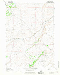
1964 · Carter
USGS Topo · 1:24,000
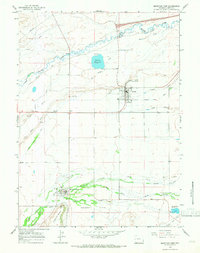
1964 · Mountain View
USGS Topo · 1:24,000
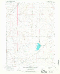
1964 · Austin Reservoir
USGS Topo · 1:24,000
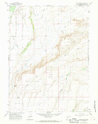
1964 · Leavitt Bench
USGS Topo · 1:24,000
1964 · Robertson
USGS Topo · 1:24,000
1965 · Bridger
USGS Topo · 1:24,000