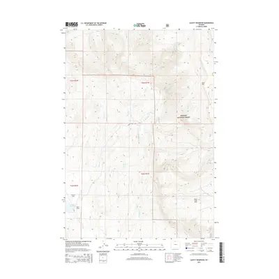
2015 Map of Leavitt Reservoir
USGS Topo · Published 2015About this map
Leavitt Reservoir anchors the southwestern corner of this landscape, a remote high-plains region defined by complex drainage systems and the rising terrain of the Bighorn National Forest. The map documents a rugged topography where water management is critical to the local economy, evidenced by the presence of the London Ditch cutting through the foothills. Higher elevations are dominated by Hunt Mtn and the broad expanse of Horse Creek Mesa, providing a look at the transition from creek-fed draws like Fenton Draw and Davis Draw to the steeper slopes of the national forest. Numerous waterways, including Hudson Falls Cr and several branches of Beaver Creek, carve deep into the landscape, illustrating the hydrological patterns of Sheridan County's interior wilderness as it appeared in the early 21st century.
Find a feature on this map
20 named features on this map. Tap any name to fly to it.
Don’t see what you’re looking for? This feature index may not catch every label — zoom into the map to look around manually.
Map Details
Editions of this 2015 Leavitt Reservoir Map
This is the sole edition of this map. No revisions or reprints were ever made.
Other maps of this area

1898 · Bald Mountain
USGS Topo · 1:125,000

1901 · Bald Mountain
USGS Topo · 1:125,000

1955 · Sheridan
USGS Topo · 1:250,000

1958 · Sheridan
USGS Topo · 1:250,000

1960 · Black Mountain
USGS Topo · 1:24,000

1960 · Medicine Wheel
USGS Topo · 1:24,000

1960 · Hidden Tepee Creek
USGS Topo · 1:24,000

1960 · Devils Kitchen
USGS Topo · 1:24,000

1960 · Shell
USGS Topo · 1:24,000

1960 · Bear Creek Ranch
USGS Topo · 1:24,000