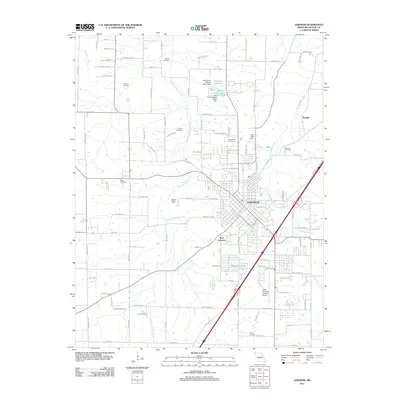
2011 Map of Lebanon
USGS Topo · Published 2011About this map
Lebanon and West Lebanon anchor this Laclede County landscape, centered around a network of regional transportation and aviation at the Floyd W Jones Lebanon Airport. The geography is defined by the winding course of Goodwin Hollow Creek and Dry Auglaize Creek, which support a series of local impoundments including Wallace Lake, Number 54 Lake, and Horseshoe Lake. The distribution of rural burial grounds, such as Atchley Cemetery, Vernon Cemetery, and Bolles Cemetery, provides a clear map of family settlement patterns across the countryside.
Find a feature on this map
73 named features on this map. Tap any name to fly to it.
Don’t see what you’re looking for? This feature index may not catch every label — zoom into the map to look around manually.
Map Details
Editions of this 2011 Lebanon Map
This is the sole edition of this map. No revisions or reprints were ever made.
Other maps of this area

1933 · Stoutland
USGS Topo · 1:62,500

1934 · Macks Creek
USGS Topo · 1:48,000

1938 · Stoutland
USGS Topo · 1:62,500

1939 · Macks Creek
USGS Topo · 1:62,500

1939 · Long Lane
USGS Topo · 1:62,500

1941 · Lebanon
USGS Topo · 1:62,500

1942 · Long Lane
USGS Topo · 1:62,500

1943 · Lebanon
USGS Topo · 1:62,500

1954 · Springfield
USGS Topo · 1:250,000

1958 · Springfield
USGS Topo · 1:250,000