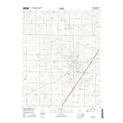
2015 Map of Lebanon
USGS Topo · Published 2015About this map
Lebanon and West Lebanon occupy the central and eastern portions of this Missouri Ozarks plateau, which was documented by the Geological Survey during the mid-2010s. The landscape is characterized by a dense concentration of family cemeteries, including Atchley, Donald, Vernon, and Bolles, which serve as significant markers for genealogists tracing local heritage. These sites are frequently situated near the headwaters of the regional drainage system, notably Goodwin Hollow Cr, which meanders through the western half of the terrain.
Find a feature on this map
145 named features on this map. Tap any name to fly to it.
Don’t see what you’re looking for? This feature index may not catch every label — zoom into the map to look around manually.
Map Details
Editions of this 2015 Lebanon Map
This is the sole edition of this map. No revisions or reprints were ever made.
Other maps of this area

1933 · Stoutland
USGS Topo · 1:62,500

1934 · Macks Creek
USGS Topo · 1:48,000

1938 · Stoutland
USGS Topo · 1:62,500

1939 · Macks Creek
USGS Topo · 1:62,500

1939 · Long Lane
USGS Topo · 1:62,500

1941 · Lebanon
USGS Topo · 1:62,500

1942 · Long Lane
USGS Topo · 1:62,500

1943 · Lebanon
USGS Topo · 1:62,500

1954 · Springfield
USGS Topo · 1:250,000

1958 · Springfield
USGS Topo · 1:250,000