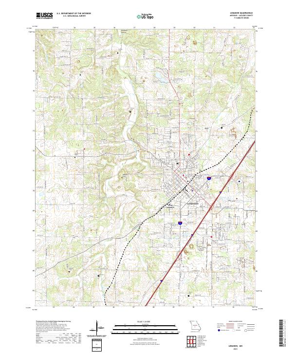
2021 Map of Lebanon
USGS Topo · Published 2021About this map
Lebanon and West Lebanon occupy the central and southeastern portions of this Laclede County landscape, centered around a dense network of municipal streets and growing residential developments. The area is characterized by a high concentration of family-named burial grounds, such as Atchley Cem, Holman Cem, and Bolles Cem, reflecting a long-standing pattern of rural settlement that persists even as the city expands. The terrain is marked by significant hydrological and karst features, including the sprawling Goodwin Hollow to the north and the distinct depression of Adkins Sink. Infrastructure is anchored by the Floyd W Jones Lebanon Airport and a series of water bodies like Wallace Lake and Number 54 Lake. To the south, the headwaters of McCobb Cr and Dry Auglaize Cr define the local drainage, while numerous county roads provide access to the surrounding farmsteads and rural properties.
Find a feature on this map
147 named features on this map. Tap any name to fly to it.
Don’t see what you’re looking for? This feature index may not catch every label — zoom into the map to look around manually.
Map Details
Editions of this 2021 Lebanon Map
This is the sole edition of this map. No revisions or reprints were ever made.
Other maps of this area

1933 · Stoutland
USGS Topo · 1:62,500

1934 · Macks Creek
USGS Topo · 1:48,000

1938 · Stoutland
USGS Topo · 1:62,500

1939 · Macks Creek
USGS Topo · 1:62,500

1939 · Long Lane
USGS Topo · 1:62,500

1941 · Lebanon
USGS Topo · 1:62,500

1942 · Long Lane
USGS Topo · 1:62,500

1943 · Lebanon
USGS Topo · 1:62,500

1954 · Springfield
USGS Topo · 1:250,000

1958 · Springfield
USGS Topo · 1:250,000