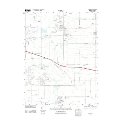
2012 Map of Lebanon
USGS Topo · Published 2012About this map
Lebanon and the historic campus of McKendree University anchor this portion of Saint Clair County, showing a landscape defined by traditional agrarian structures alongside modern aviation infrastructure. The map details a dense network of family and community burial grounds, including Middlecoff Cem, Summerfield Cem, and Padfield Cem, which offer significant value for genealogists tracing early regional settlers. To the south, the massive footprint of Scott Air Force Base/MidAmerica Airport dominates the terrain, with specialized features like Scott Air Force Base Pond and the Cardinal Creek Golf Course serving the base community. Cultural landmarks such as Emerald Mound Grange and Shiloh Valley Grange indicate the area's deep-rooted agricultural heritage, while water bodies like Silver Creek and Mascoutah Lake shape the local drainage and recreational spaces.
Find a feature on this map
132 named features on this map. Tap any name to fly to it.
Don’t see what you’re looking for? This feature index may not catch every label — zoom into the map to look around manually.
Map Details
Editions of this 2012 Lebanon Map
This is the sole edition of this map. No revisions or reprints were ever made.
Other maps of this area

1906 · Breese
USGS Topo · 1:62,500

1907 · Breese
USGS Topo · 1:62,500

1907 · Belleville
USGS Topo · 1:62,500

1910 · Okawville
USGS Topo · 1:62,500

1912 · New Athens
USGS Topo · 1:62,500

1935 · Lebanon
USGS Topo · 1:24,000

1937 · Collinsville
USGS Topo · 1:24,000

1937 · O'Fallon
USGS Topo · 1:24,000

1940 · Okawville
USGS Topo · 1:62,500

1949 · Lebanon
USGS Topo · 1:24,000