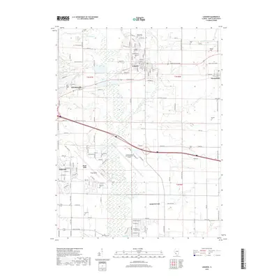
2018 Map of Lebanon
USGS Topo · Published 2018About this map
Lebanon and the historic campus of McKendree Univ anchor this portrait of Saint Clair County, where the transition from dense residential blocks to expansive Illinois farmland is sharply defined. The landscape is dominated in the southwest by the significant infrastructure of Scott AFB and the Scott Air Force Base/MidAmerica Airport, highlighting the region's importance as a strategic military and aviation hub. Surrounding these installations, the terrain is drained by a network of waterways including Silver Creek and Little Silver Creek, which meander through a patchwork of agricultural sections and growing suburban fringes.
Find a feature on this map
135 named features on this map. Tap any name to fly to it.
Don’t see what you’re looking for? This feature index may not catch every label — zoom into the map to look around manually.
Map Details
Editions of this 2018 Lebanon Map
This is the sole edition of this map. No revisions or reprints were ever made.
Other maps of this area

1906 · Breese
USGS Topo · 1:62,500

1907 · Breese
USGS Topo · 1:62,500

1907 · Belleville
USGS Topo · 1:62,500

1910 · Okawville
USGS Topo · 1:62,500

1912 · New Athens
USGS Topo · 1:62,500

1935 · Lebanon
USGS Topo · 1:24,000

1937 · Collinsville
USGS Topo · 1:24,000

1937 · O'Fallon
USGS Topo · 1:24,000

1940 · Okawville
USGS Topo · 1:62,500

1949 · Lebanon
USGS Topo · 1:24,000