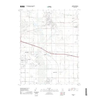
2021 Map of Lebanon
USGS Topo · Published 2021About this map
McKendree University serves as a prominent anchor for the city of Lebanon, reflecting a long-standing academic presence in this corner of Saint Clair County. The landscape is defined by the convergence of residential growth and critical transportation corridors, including the massive footprint of Scott Air Force Base/MidAmerica Airport to the southwest. This facility, adjacent to O'Fallon and Shiloh, underscores the region's strategic importance in modern aviation and defense.
Find a feature on this map
134 named features on this map. Tap any name to fly to it.
Don’t see what you’re looking for? This feature index may not catch every label — zoom into the map to look around manually.
Map Details
Editions of this 2021 Lebanon Map
This is the sole edition of this map. No revisions or reprints were ever made.
Other maps of this area

1906 · Breese
USGS Topo · 1:62,500

1907 · Breese
USGS Topo · 1:62,500

1907 · Belleville
USGS Topo · 1:62,500

1910 · Okawville
USGS Topo · 1:62,500

1912 · New Athens
USGS Topo · 1:62,500

1935 · Lebanon
USGS Topo · 1:24,000

1937 · Collinsville
USGS Topo · 1:24,000

1937 · O'Fallon
USGS Topo · 1:24,000

1940 · Okawville
USGS Topo · 1:62,500

1949 · Lebanon
USGS Topo · 1:24,000