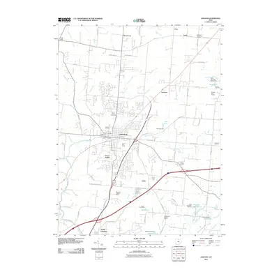
2010 Map of Lebanon
USGS Topo · Published 2010About this map
Lebanon serves as the central hub of this Warren County landscape, showing a established grid that balances urban development with agricultural heritage. The presence of the Warren County Fairgrounds and Harmon Golf Course near the town center indicates a community built around public spaces and recreation. Several private airfields, including San Mar Gale Airport, Brownies Lebanon Airport, and the Maplewood Orchard Airport, are scattered across the surrounding countryside, reflecting the area's modern aviation activity alongside traditional agricultural sites like Irons Fruit Farm.
Find a feature on this map
89 named features on this map. Tap any name to fly to it.
Don’t see what you’re looking for? This feature index may not catch every label — zoom into the map to look around manually.
Map Details
Editions of this 2010 Lebanon Map
This is the sole edition of this map. No revisions or reprints were ever made.
Other maps of this area

1904 · Mason
USGS Topo · 1:62,500

1906 · Mason
USGS Topo · 1:62,500

1908 · Miamisburg
USGS Topo · 1:62,500

1913 · Waynesville
USGS Topo · 1:62,500

1914 · Morrow
USGS Topo · 1:62,500

1915 · Waynesville
USGS Topo · 1:62,500

1916 · Morrow
USGS Topo · 1:62,500

1951 · Franklin
USGS Topo · 1:24,000

1953 · Cincinnati
USGS Topo · 1:250,000

1955 · Monroe
USGS Topo · 1:24,000