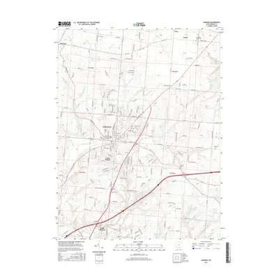
2016 Map of Lebanon
USGS Topo · Published 2016About this map
Lebanon serves as the focal point of this 2016 survey, where the convergence of modern suburban development meets a landscape dotted with reminders of earlier Warren County history. The map records several notable burial sites including the central Lebanon Cem, the Pioneer Cem, and the more remote Old Stone Schoolhouse Cem near Dodds. These landmarks, along with family-named features like Kirby Cem and Hatfield Cem, provide a critical spatial record for genealogists and local historians tracing the area's ancestral footprint.
Find a feature on this map
103 named features on this map. Tap any name to fly to it.
Don’t see what you’re looking for? This feature index may not catch every label — zoom into the map to look around manually.
Map Details
Editions of this 2016 Lebanon Map
This is the sole edition of this map. No revisions or reprints were ever made.
Other maps of this area

1904 · Mason
USGS Topo · 1:62,500

1906 · Mason
USGS Topo · 1:62,500

1908 · Miamisburg
USGS Topo · 1:62,500

1913 · Waynesville
USGS Topo · 1:62,500

1914 · Morrow
USGS Topo · 1:62,500

1915 · Waynesville
USGS Topo · 1:62,500

1916 · Morrow
USGS Topo · 1:62,500

1951 · Franklin
USGS Topo · 1:24,000

1953 · Cincinnati
USGS Topo · 1:250,000

1955 · Monroe
USGS Topo · 1:24,000