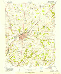
1955 Map of Lebanon
USGS Topo · Published 1956About this map
The town of Lebanon functions as a clear regional hub in the mid-1950s, centered around the Courthouse, City Hall, and the Fairgrounds. The surrounding landscape is defined by the Pennsylvania Railroad and a dense network of early roads such as Miller Road and Purchase Road that connect outlying settlements like Red Lion, Genntown, and Dodds. This survey captures the county seat just as residential expansion begins to push into areas like McBurney Hills and Avalon Heights.
Find a feature on this map
58 named features on this map. Tap any name to fly to it.
Don’t see what you’re looking for? This feature index may not catch every label — zoom into the map to look around manually.
Map Details
Editions of this 1955 Lebanon Map
This is the sole edition of this map. No revisions or reprints were ever made.
Other maps of this area

1904 · Mason
USGS Topo · 1:62,500

1906 · Mason
USGS Topo · 1:62,500

1908 · Miamisburg
USGS Topo · 1:62,500

1913 · Waynesville
USGS Topo · 1:62,500

1914 · Morrow
USGS Topo · 1:62,500

1915 · Waynesville
USGS Topo · 1:62,500

1916 · Morrow
USGS Topo · 1:62,500

1951 · Franklin
USGS Topo · 1:24,000

1953 · Cincinnati
USGS Topo · 1:250,000

1955 · Monroe
USGS Topo · 1:24,000
Featured Places
- Lebanon, OH
- South Lebanon, OH
- Dodds, Clearcreek Township
- Merrittstown, Clearcreek Township
- Utica, Clearcreek Township