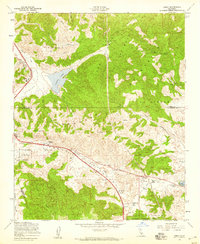
1958 Map of Lebec
USGS Topo · Published 1959About this map
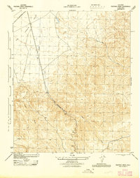
Tejon Pass serves as the focal point for this 1950s study of the high mountain corridor connecting central and southern California. The Golden State Highway cuts through the rugged Tehachapi Mountains, passing through the small settlements of Lebec and Gorman. This area is geographically defined by its placement along the San Andreas Rift Zone Valley, a visible tectonic feature running through the southern half of the sheet. Education and local commerce are represented by the Gorman School and Sky Ranch, while the surrounding landscape transitions into the Los Padres National Forest and Angeles National Forest. Further east, the Quail Lake School sits near the shores of Quail Lake, marking the high desert approach. High-elevation infrastructure like the Tejon Lookout and several radio navigation stations emphasize the strategic importance of this ridge for transit and communication.
Find a feature on this map
35 named features on this map. Tap any name to fly to it.
Don’t see what you’re looking for? This feature index may not catch every label — zoom into the map to look around manually.
Map Details
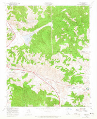
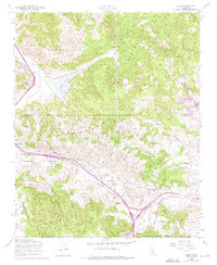
Editions of this 1958 Lebec Map
3 editions found
Other maps of this area

1903 · Tejon
USGS Topo · 1:125,000

1933 · Quail
USGS Topo · 1:24,000

1933 · Gorman
USGS Topo · 1:24,000

1938 · Gorman
USGS Topo · 1:24,000

1938 · Quail
USGS Topo · 1:24,000

1942 · Tecuya Creek
USGS Topo · 1:24,000

1942 · Frazier Mountain
USGS Topo · 1:24,000

1943 · Neenach
USGS Topo · 1:62,500
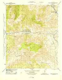
1944 · Frazier Mountain
USGS Topo · 1:31,680
1945 · Pastoria Creek
USGS Topo · 1:31,680