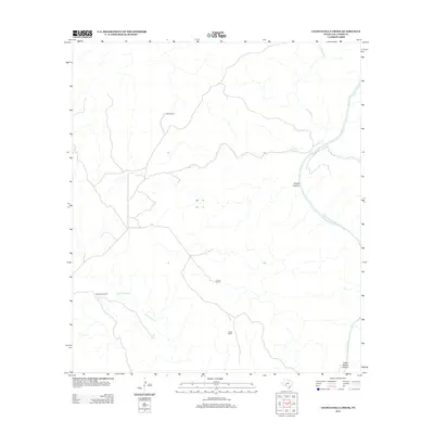
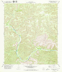
2013 Map of Lechuguilla Creek
USGS Topo · Published 2013About this map
Devils River dominates the eastern edge of this West Texas terrain, carving through the arid landscape of Val Verde County. This survey illustrates a region defined by its drainages and long-established cattle or sheep operations. The network of ephemeral streams, including Lechuguilla Cr and Indian Cr, feeds into the main river channel, creating the dramatic relief seen at Rough Canyon.
Find a feature on this map
10 named features on this map. Tap any name to fly to it.
Don’t see what you’re looking for? This feature index may not catch every label — zoom into the map to look around manually.
Map Details
Editions of this 2013 Lechuguilla Creek Map
This is the sole edition of this map. No revisions or reprints were ever made.
Other maps of this area

1941 · Feely
USGS Topo · 1:62,500

1944 · Dry Devil
USGS Topo · 1:62,500

1944 · Devils Lake
USGS Topo · 1:62,500

1944 · Baker Crossing
USGS Topo · 1:62,500

1958 · Del Rio
USGS Topo · 1:250,000

1964 · Del Rio
USGS Topo · 1:250,000
1972 · Satan Canyon
USGS Topo · 1:24,000
1972 · Gillis Ranch
USGS Topo · 1:24,000
1972 · Comstock
USGS Topo · 1:24,000
1979 · Telephone Canyon
USGS Topo · 1:24,000