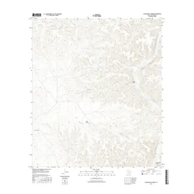
2016 Map of Lechuguilla Creek
USGS Topo · Published 2016About this map
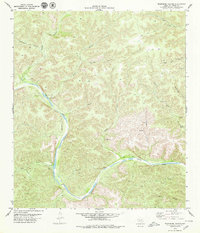
Lechuguilla Creek and the deep drainage of the Devils River dominate this West Texas landscape in Val Verde County. The terrain is defined by a series of dramatic cuts including Rough Canyon and Dark Canyon, illustrating the erosive power of intermittent waterways in this arid environment. While the area is sparsely populated, the Dickerson Ranch stands as a primary landmark for researchers tracing land use and ranching history in the region during the early twenty-first century. Numerous seasonal tributaries, such as Indian Cr and Dead Mans Cr, feed into the river system, while Cedar Spring Canyon provides a specific point of interest for those studying local hydrology and natural landmarks.
Find a feature on this map
8 named features on this map. Tap any name to fly to it.
Don’t see what you’re looking for? This feature index may not catch every label — zoom into the map to look around manually.
Map Details
Editions of this 2016 Lechuguilla Creek Map
This is the sole edition of this map. No revisions or reprints were ever made.
Other maps of this area

1941 · Feely
USGS Topo · 1:62,500

1944 · Dry Devil
USGS Topo · 1:62,500

1944 · Devils Lake
USGS Topo · 1:62,500

1944 · Baker Crossing
USGS Topo · 1:62,500

1958 · Del Rio
USGS Topo · 1:250,000

1964 · Del Rio
USGS Topo · 1:250,000
1972 · Satan Canyon
USGS Topo · 1:24,000
1972 · Gillis Ranch
USGS Topo · 1:24,000
1972 · Comstock
USGS Topo · 1:24,000
1979 · Telephone Canyon
USGS Topo · 1:24,000