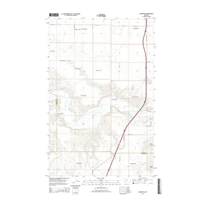
2014 Map of Ledger NW
USGS Topo · Published 2014About this map
The Marias River carves a deep, winding path through the borderlands of Toole and Pondera Counties, creating a complex series of breaks and drainages in the high plains. This 2014 survey captures a landscape defined by water management and topographic relief, where the flat upland plateaus are interrupted by deep-cut coulees such as Dumas Coulee and Schultz Coulee. The agricultural infrastructure of the region is evident in the presence of the K 9 Ditch and localized water storage at Ed McIntyre Reservoir and Wanken Reservoir. The transportation network is anchored by US Highway 91 N and the Marias Valley Rd, which follow the natural contours of the valley. Local family names are etched into the geography via roads like Hjartarson Rd and Zell Farm Rd, offering valuable touchpoints for genealogists studying the twentieth-century settlement of this Montana high country.
Find a feature on this map
38 named features on this map. Tap any name to fly to it.
Don’t see what you’re looking for? This feature index may not catch every label — zoom into the map to look around manually.
Map Details
Editions of this 2014 Ledger NW Map
This is the sole edition of this map. No revisions or reprints were ever made.
Other maps of this area

1909 · Cut Bank
USGS Topo · 1:125,000

1912 · Cut Bank
USGS Topo · 1:125,000

1920 · Dupuyer
USGS Topo · 1:125,000

1920 · Conrad
USGS Topo · 1:125,000

1934 · Valier
USGS Topo · 1:62,500

1937 · Valier
USGS Topo · 1:62,500

1943 · Shelby
USGS Topo · 1:62,500

1954 · Shelby
USGS Topo · 1:250,000

1958 · Shelby
USGS Topo · 1:250,000

1960 · Cut Bank
USGS Topo · 1:250,000