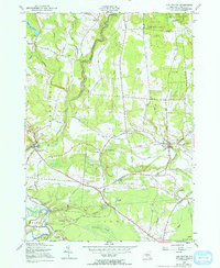
1955 Map of Lee Center
USGS Topo · Published 1970About this map
East Branch Fish Creek winds through this mid-century landscape of northern Oneida County, connecting several historic hamlets and infrastructure projects. The area is defined by its water management for nearby urban centers, featuring both the Oneida City Reservoir and the City of Rome Reservoir. Settlement patterns are anchored by Taberg and Lee Center, where the infrastructure of rural life is visible through a numbered school system ranging from School No 1 to Sch No 14.
Find a feature on this map
88 named features on this map. Tap any name to fly to it.
Don’t see what you’re looking for? This feature index may not catch every label — zoom into the map to look around manually.
Map Details
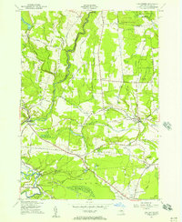
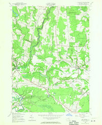
Editions of this 1955 Lee Center Map
3 editions found
Other maps of this area

1895 · Oriskany
USGS Topo · 1:62,500

1895 · Oneida
USGS Topo · 1:62,500

1898 · Oneida
USGS Topo · 1:62,500

1898 · Oriskany
USGS Topo · 1:62,500

1902 · Oneida
USGS Topo · 1:62,500

1904 · Boonville
USGS Topo · 1:62,500

1905 · Taberg
USGS Topo · 1:62,500

1939 · Oneida
USGS Topo · 1:62,500

1943 · East Florence
USGS Topo · 1:31,680

1943 · Camden East
USGS Topo · 1:31,680